Jump to . . .Step by Step | OS Map | Downloads | Gallery | Fly through
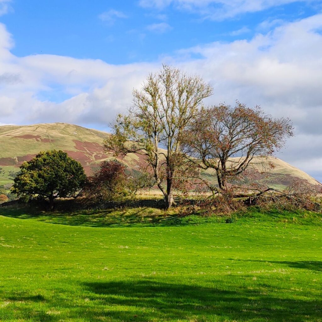
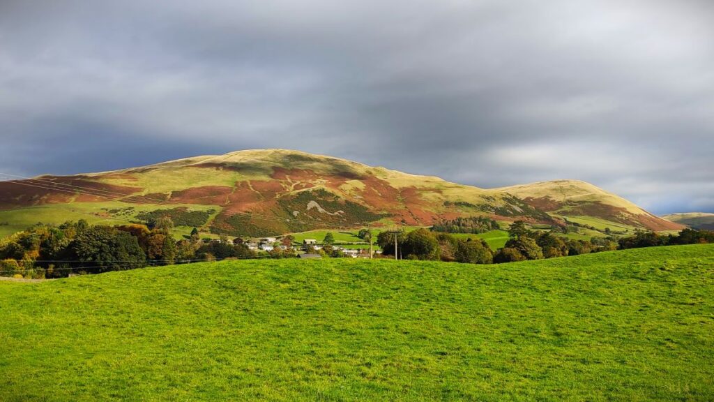
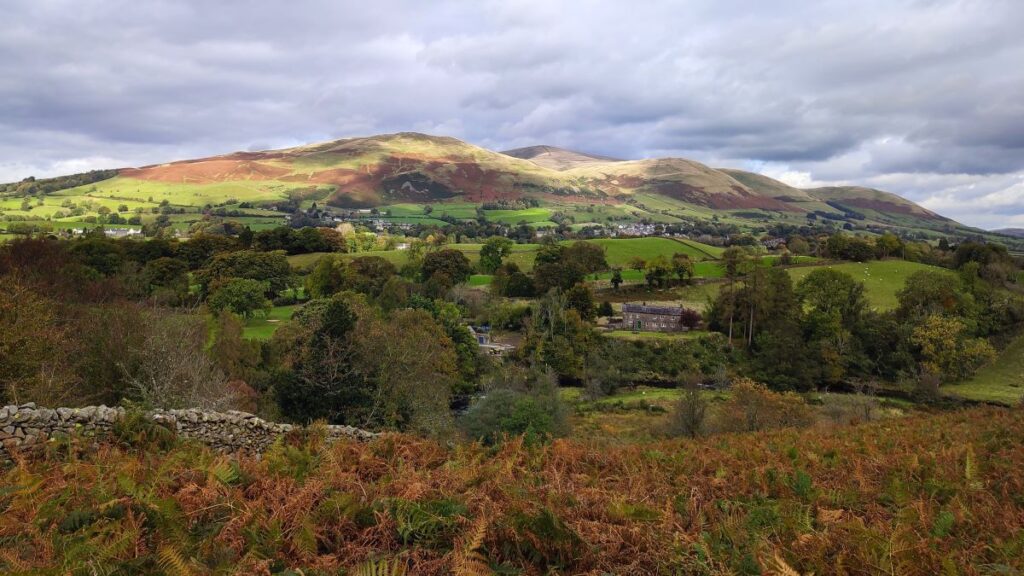
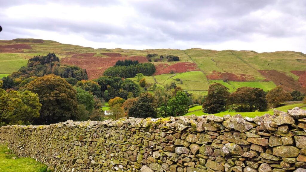
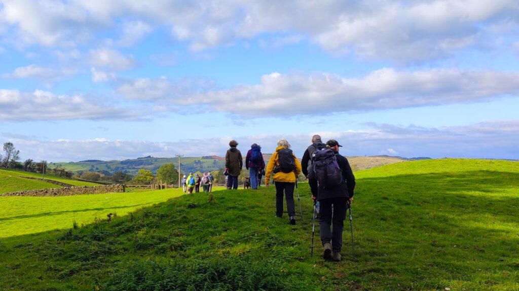
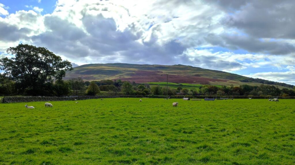
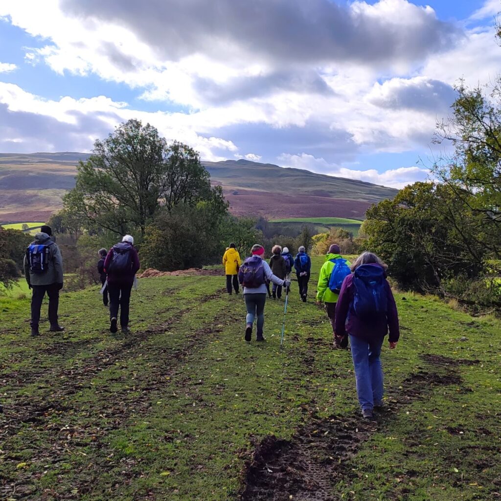
People often associate Sedbergh with the Howgills and steep climbs such as Cautley Spout, Winder or The Calf. These are indeed great options, but there are gentler walks from Sedbergh, and that’s what we offer here.
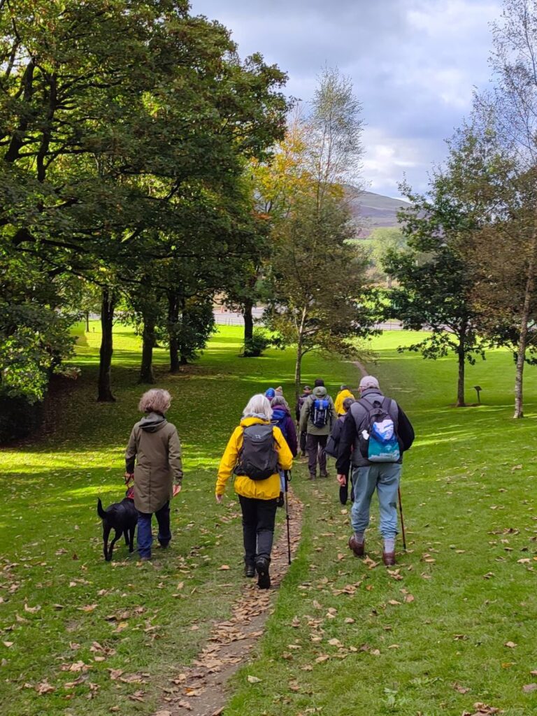
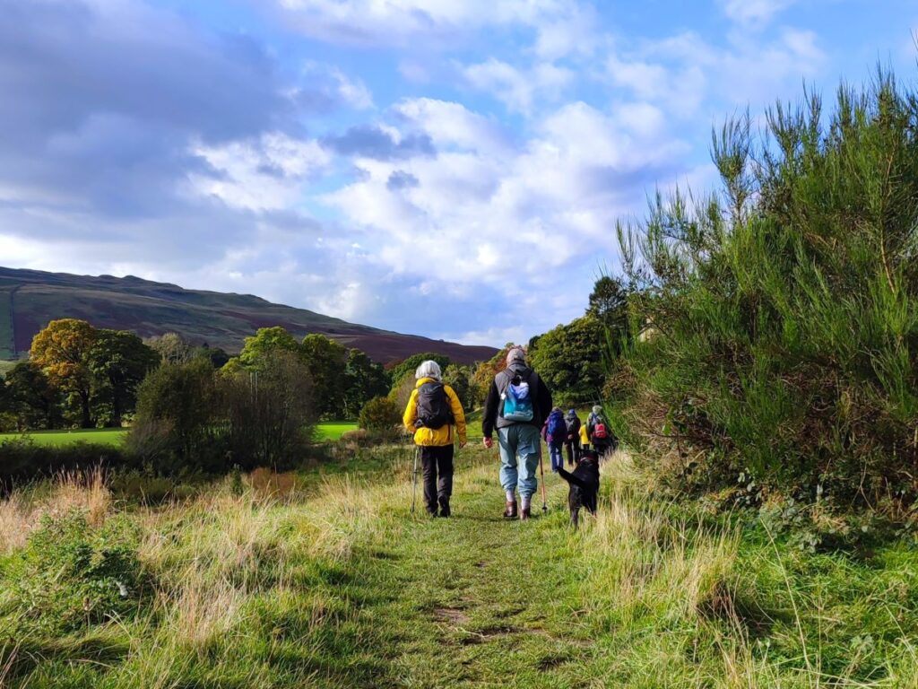
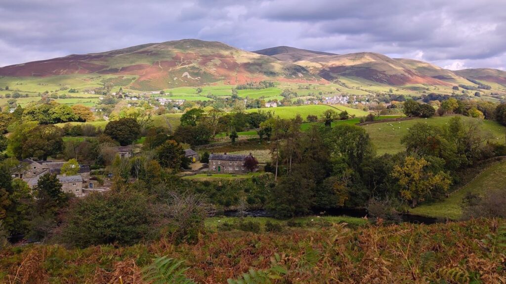
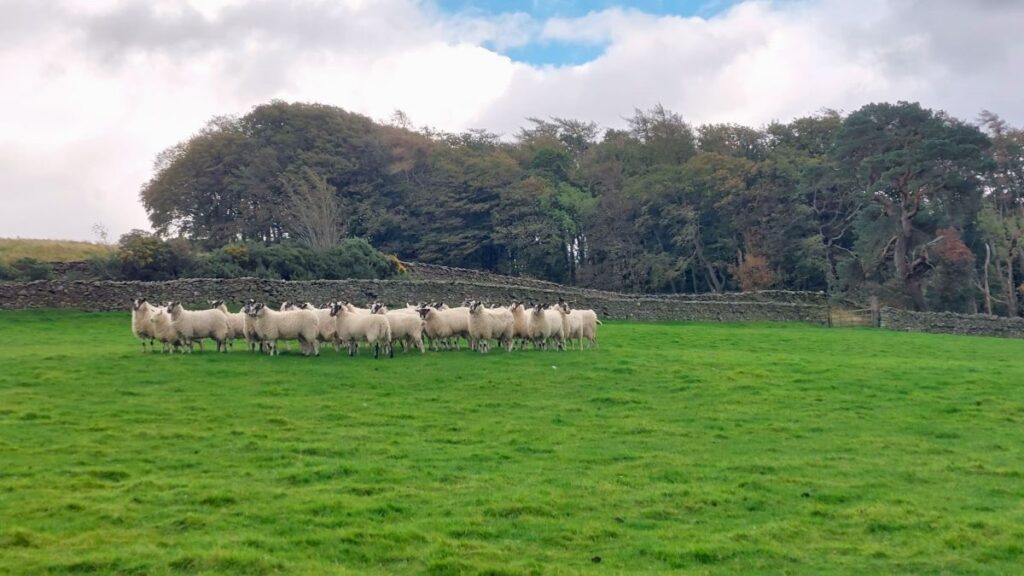
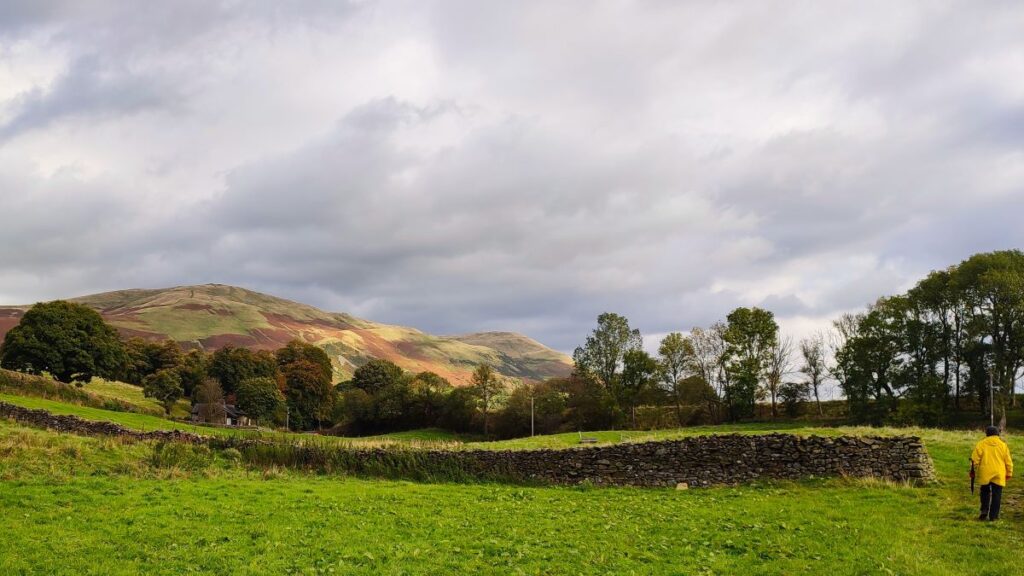
We start in the town centre and then take a route past the parish church to Birks, then walk over flat fields to the historic Friends Meeting House at Brigflatts. We backtrack slightly and take a disused railway line to the river Rawthey which we follow upstream to a footbridge at Birks. We cross this and then head across a golf course to the rather lovely Abbot Holme Bridge, then follow the Dee upstream to Dent Foot Chapel and Rash Bridge. From there we cross and at Rash Bridge climb through a couple of fields to pick up the Dales Way into Millthrop, before crossing the Rawthey again and returning to Sedbergh. Overall then we get to see lots of the Howgills in their autumnal colours without needing to actually climb them.
- Total distance 10.2 km (6.3 miles)
- Total ascent 217 m
- Easy walk
Step-by-Step
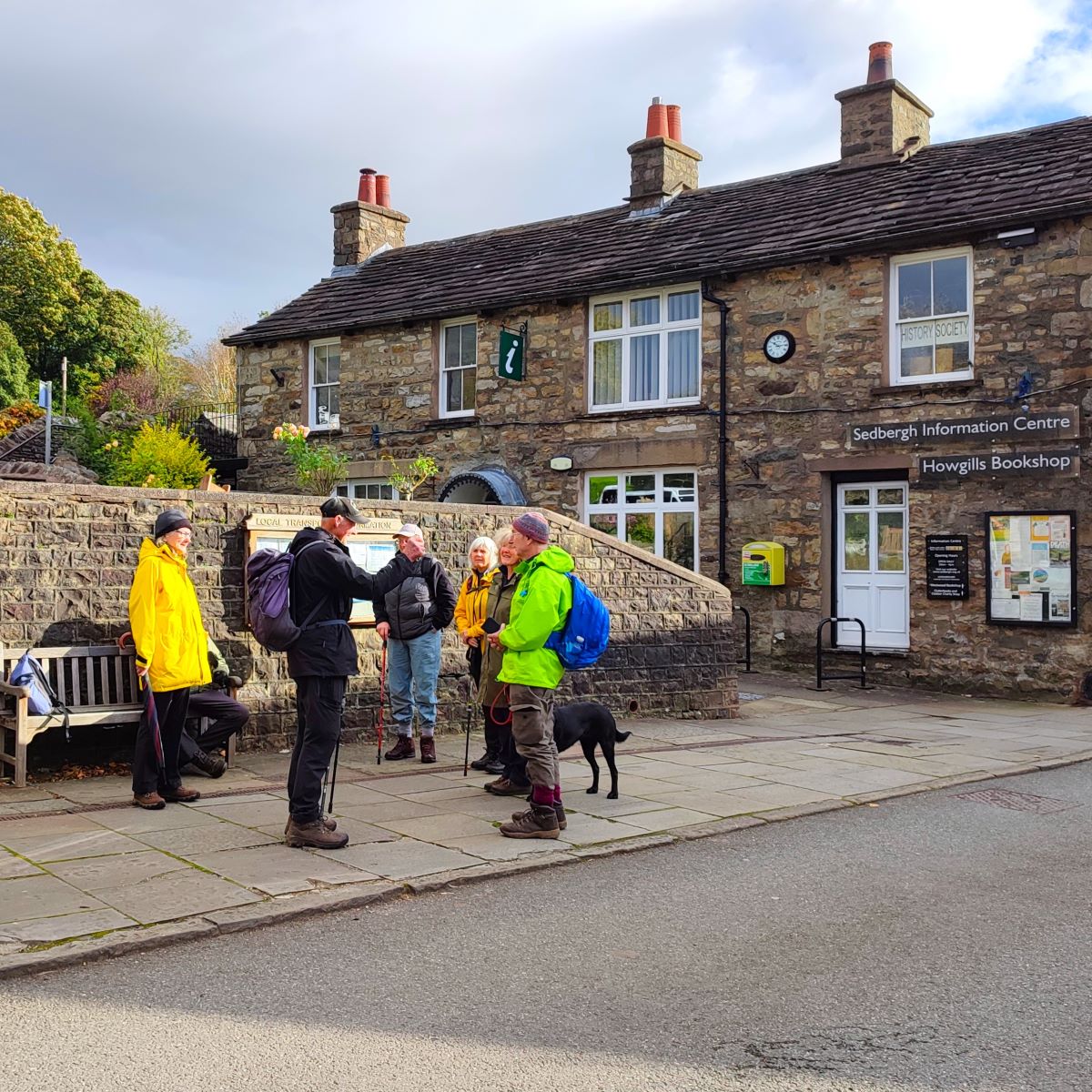
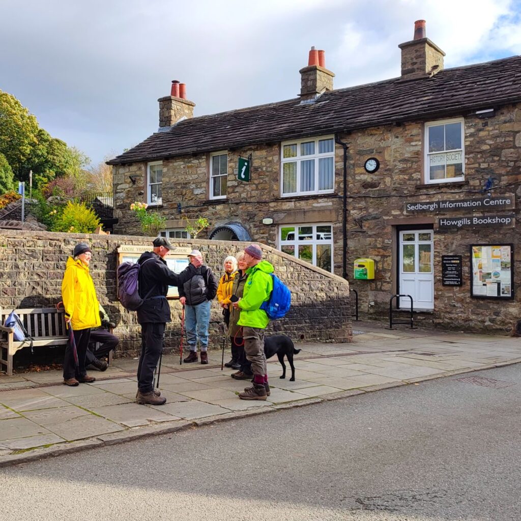
We start in Sedbergh town centre, where there are a number of options for parking – there are free on-road spaces on Long Lane (the A684), or paid parking at the car park on Main Street. The OS map on our web page for this walk shows us starting at the paid car park and ending at Long Lane – so take your pick. The OS grid reference for the paid parking is SD65919215, which corresponds to What-3-Words tag pavilions.alley.bells.
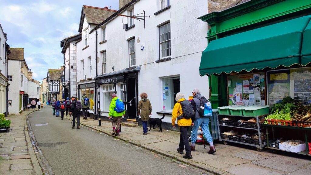
We start by walking out through the town centre along Main Street, heading west as if toward the M6. This gives us the opportunity to notice the excellent choice of shops and eateries available in the town – visiting them as a treat at the end of the walk is a great idea.
To learn more about what Sedbergh has to offer apart from this walk click on any of these links:
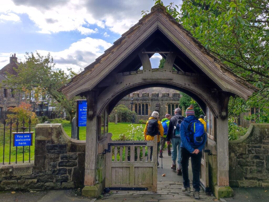
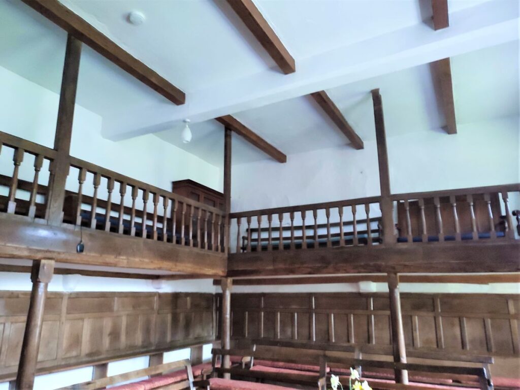
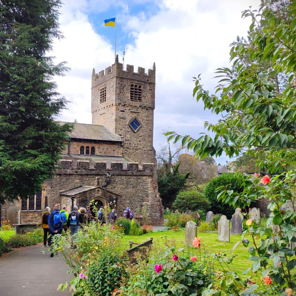
We soon arrive at the junction of Main Street and Loftus Hill, where we notice the Red Lion pub and opposite that, the church of St Andrew – our route takes us around the side of the tower of the church and down to a footpath behind the school playing fields.
St Andrew’s is a Grade I listed building and dates mainly from about 1500, although there is good evidence that fabric from earlier churches has been incorporated. A major restoration was carried out in 1885–86 by the Lancaster architects Paley and Austin. This included rebuilding the south aisle, its arcade and parts of the walling, lowering the floor, and removing the gallery. A new pulpit, altar and altar rails were added, which were made by Gillow. The restoration and the additions cost £4,200, equivalent to just £670k in 2024, which seems like good value for money.

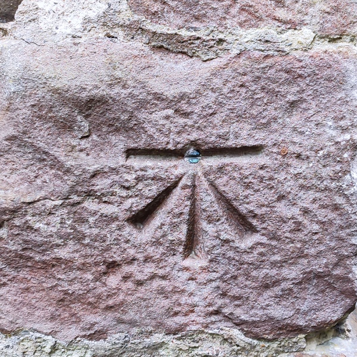
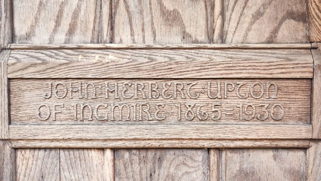
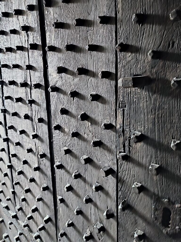
Of note on the walk past the tower are the carved oak doors commemorating John Herbert Upton, and the bench mark just to the right of the door. The phrase Bench Mark (BM) was originally a technical term that described Ordnance Survey marks carved on prominent buildings such as churches and civic halls by the Ordnance Survey to record height above Ordnance Datum. If the exact height of one BM is known, the height of the next can be found by measuring the difference in elevation, through a process of spirit levelling. The exact level is indicated by the horizontal line which in this case has a brass inset. Bench Marks are no longer needed as more accurate surveying technology is now available, but we still use the same phrase to denote a standard against which other things are judged.
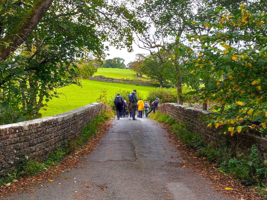
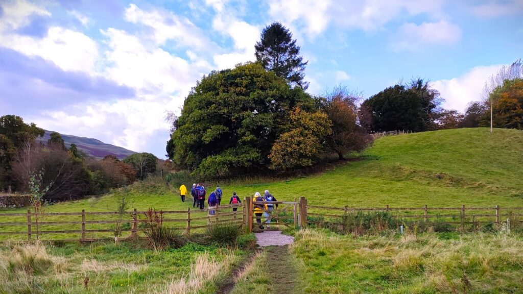
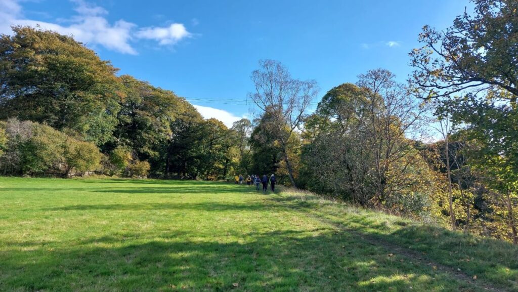
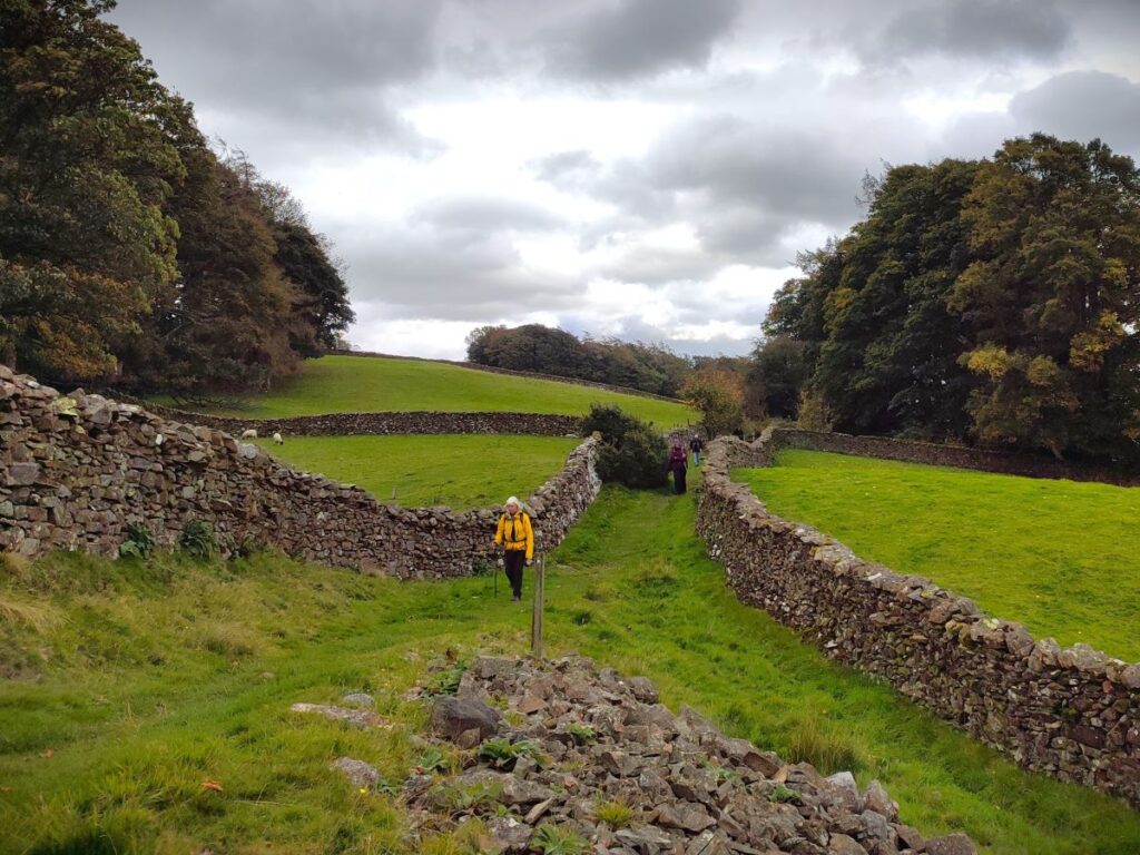
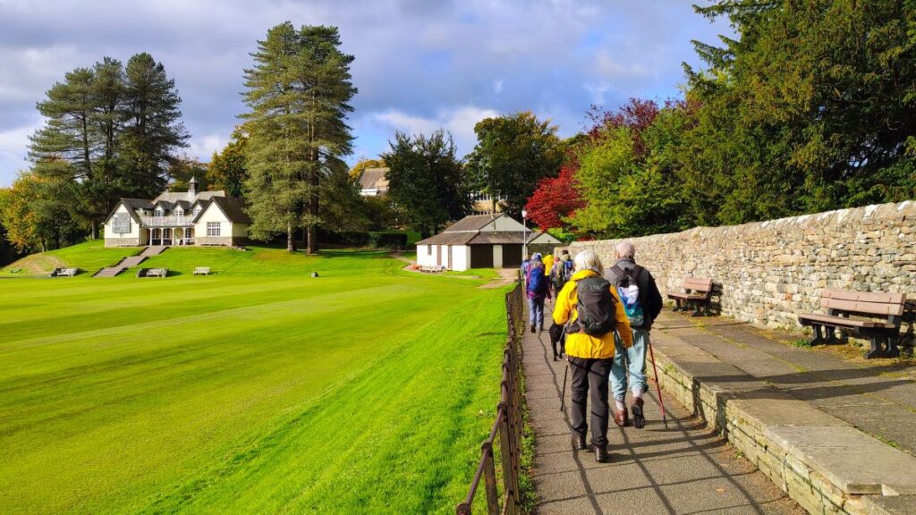
We walk around the right hand side of the tower and then take the exit gate onto the path at the side of the church where we go left – this brings us almost immediately to a path along the side of the school playing fields –where we go right. We see a pavilion to our left and take the path behind it which brings us down to a minor road. We cross this and then take the driveway almost opposite which passes the new sports facilities, and then just 100m later we arrive at signposted footpath which takes us out across fields to Birks.
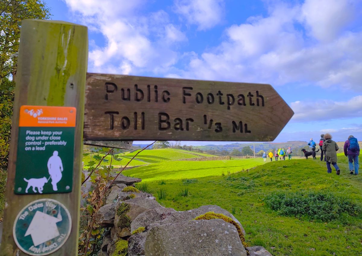
As we approach Birks, we walk below Birks House to arrive at a small road where we go left to walk through the hamlet looking for a footpath signed for Toll Bar leaving the road on the right about 60m later. We are now heading across fields toward Brigflatts and have the embankment of what was once the Ingleton Branch Line ahead of us.
The Ingleton branch line ran through the West Riding of Yorkshire, Lancashire and Westmorland. It was originally planned in 1846 to form part of a main line route from London to Scotland but fell victim to rivalry between railway companies. Completion was delayed until 1861, and even then, it was only ever a rural branch line, connecting the village of Ingleton and towns of Kirkby Lonsdale and Sedbergh. It closed to passengers in 1954 and was dismantled in 1967. Much of the route is still intact, as are a good number of bridges and viaducts – more on that soon. We aim for a small tunnel under the railway and then continue on a clear path over to the buildings at Brigflatts – about 300m beyond the railway. Parts of this interesting line appear in a number of Bentham Footpath Group walks – search for Ingleton Branch line on our website to see them.
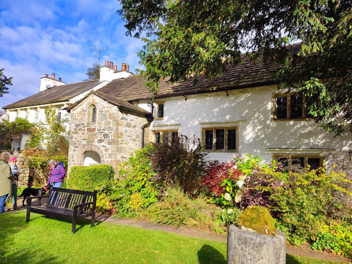
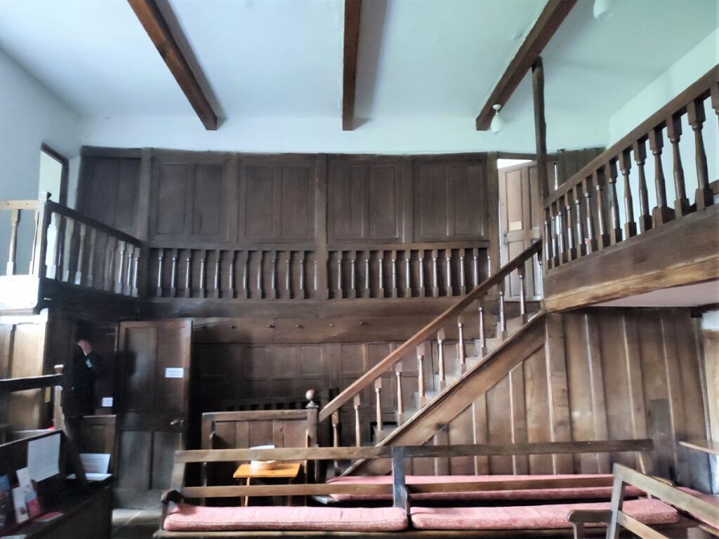
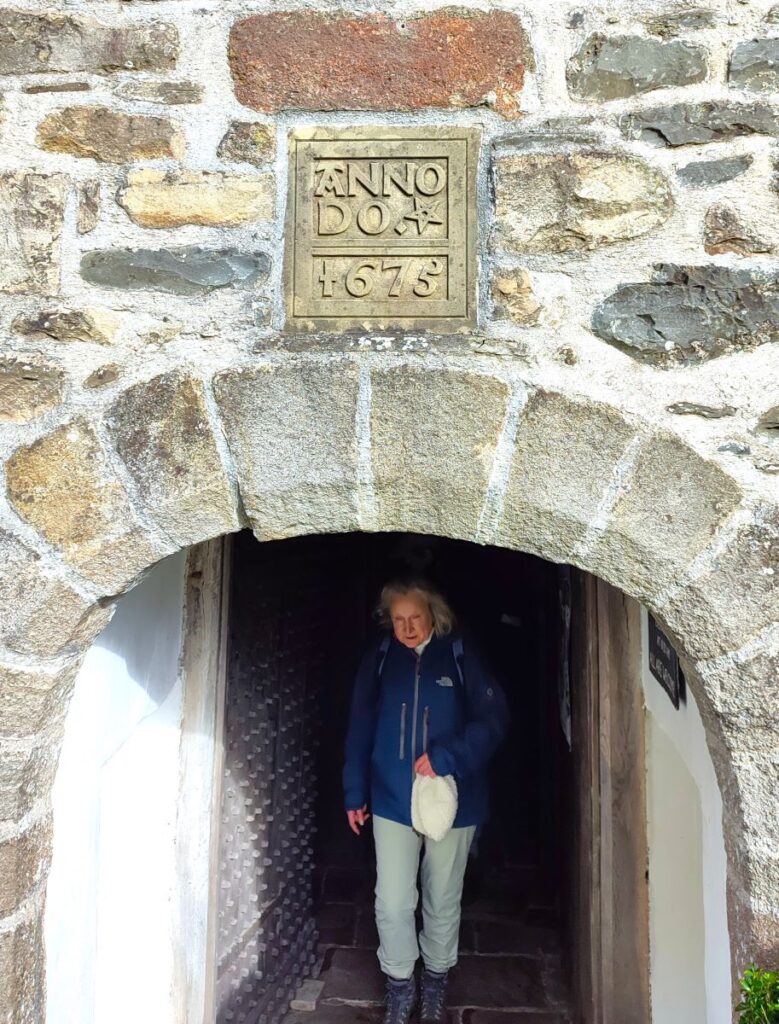
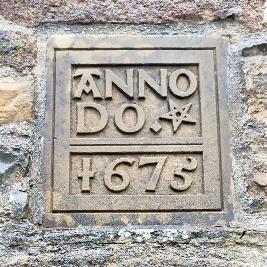
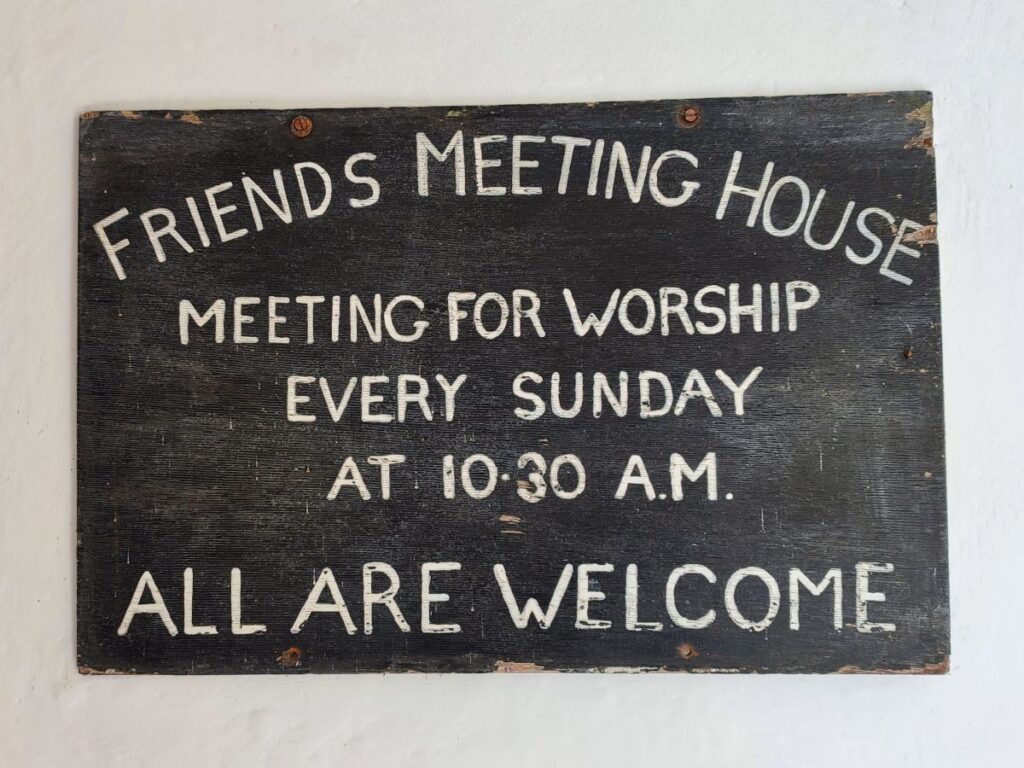
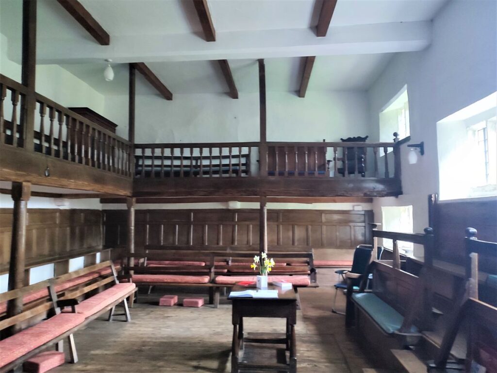
We arrive at a minor road which runs down from the busy A683 into Brigflatts and take a left turn to walk down to the Friends Meeting House, belonging to the Religious Society of Friends also known as Quakers.
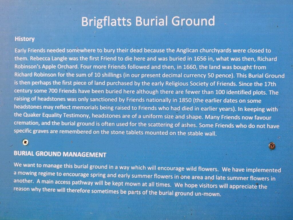
Built in 1675, it is the second oldest Friends Meeting House in England and has been listed Grade I on the National Heritage List for England since March 1954.
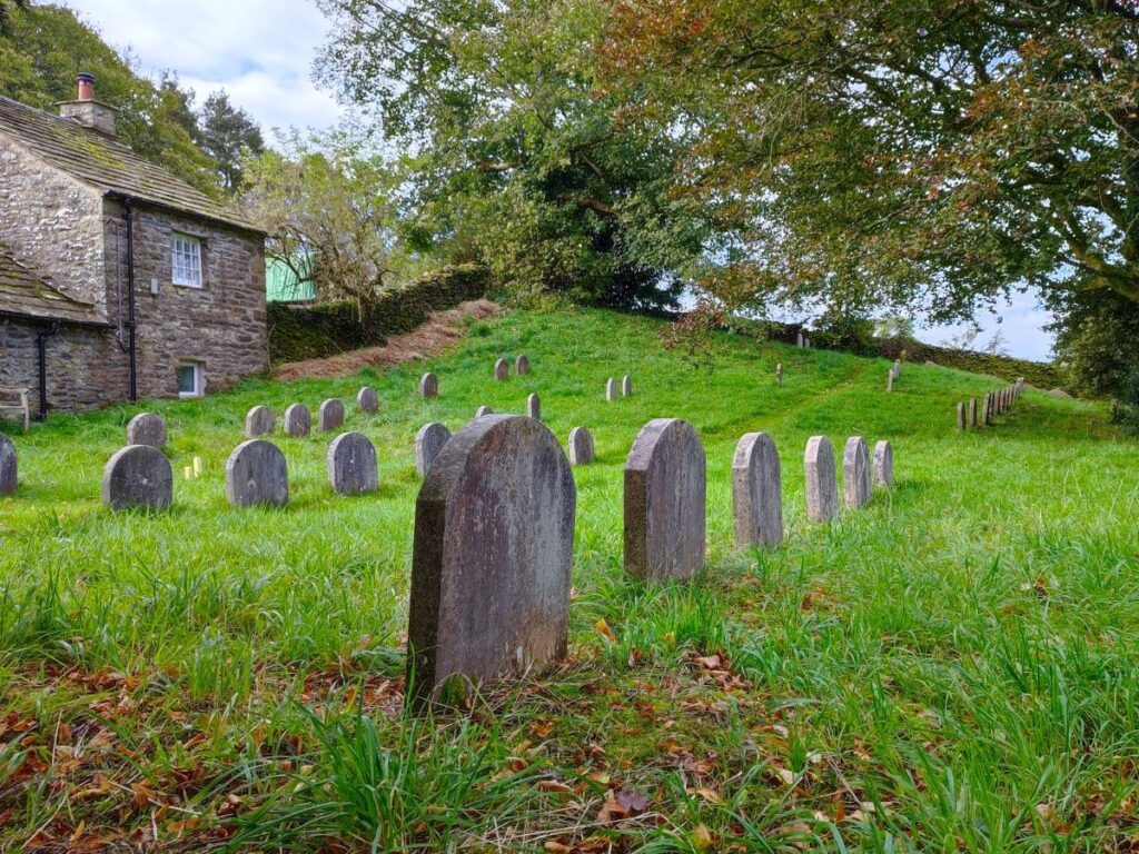
The Meeting House is open to the public and attracts in excess of 2000 visitors per annum to view the simple but dignified interior, and to enjoy the gardens and contemplative space of the nearby Quaker graveyard where upward of 700 Quakers are interred. For more detail of this fascinating site, we recommend the website of the Society of Friends.
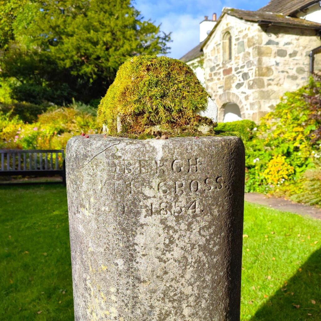
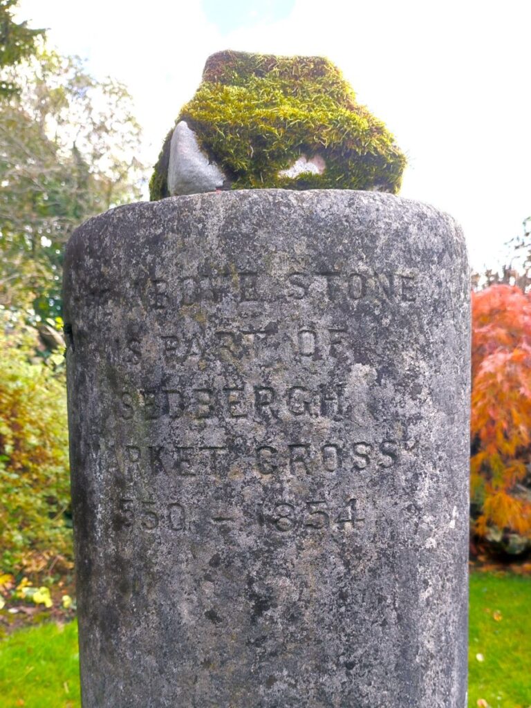
An interesting aside within the garden is the top part of the Market Cross which once stood in Sedbergh. This originally stood within the market site, which was near St Andrew’s church, but in 1854 it was brought to Brigflatts. The reason why it was given to Brigflatts was to commemorate an incident in the town when a travelling Quaker preacher had addressed a large crowd by the cross. His message was underappreciated by some of the locals, and he was set upon by ruffians. In the ensuing melee, the cross toppled and fell into the crowd but miraculously no-one was injured.

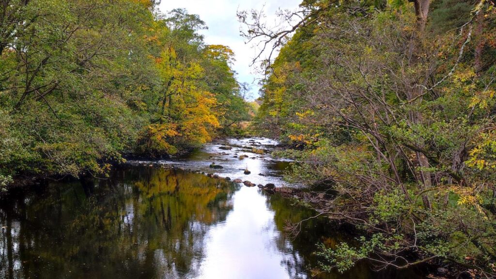
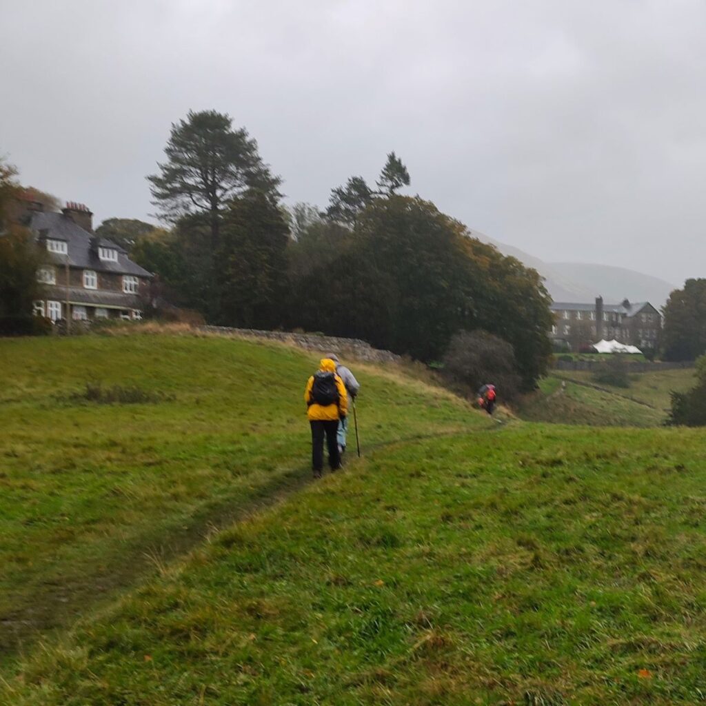
To complete the walk, we initially set off back the way we came until we get back to the railway embankment, but instead of aiming for the tunnel under the line, we climb up the embankment and head right – toward the river. We follow this elevated route for 300m until we get to the riverside, where we exit the embankment on the left to walk upstream for a while. Ahead of us at this point, but barely visible, is one of the remaining bridges on the Ingleton Branch line – if you want to get a good view, the best way is to go right onto the riverside path first before returning upstream. You can also find more detail in our Sedbergh and Winder walk.
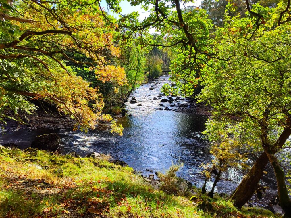
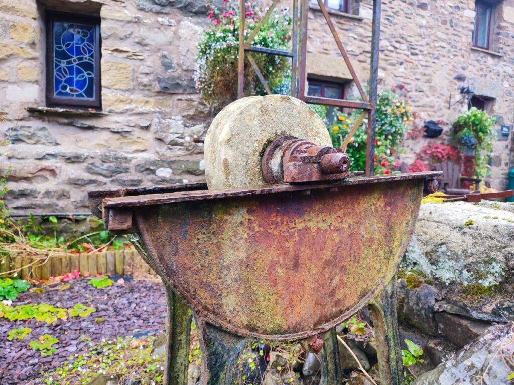
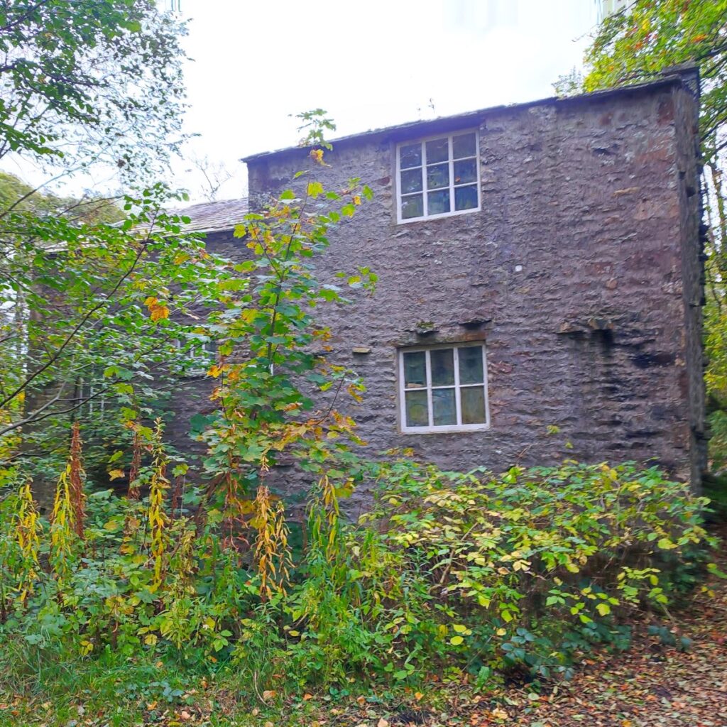
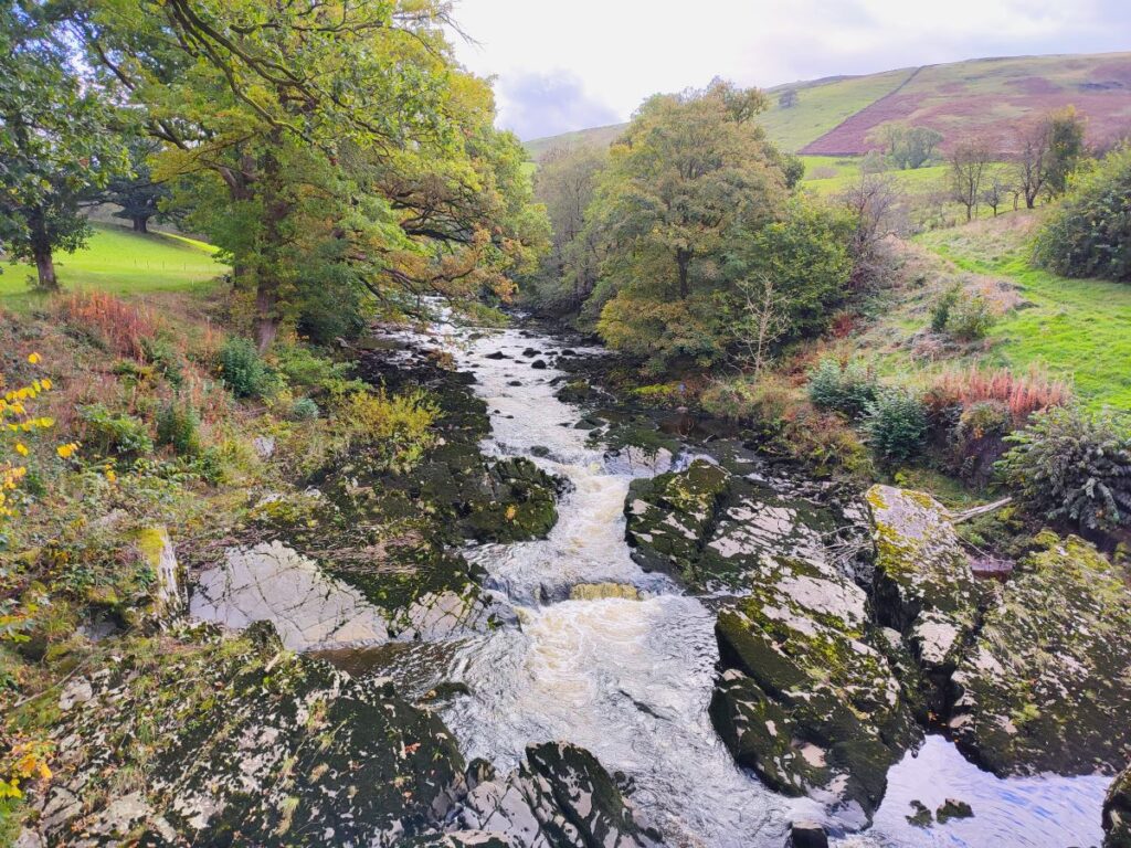
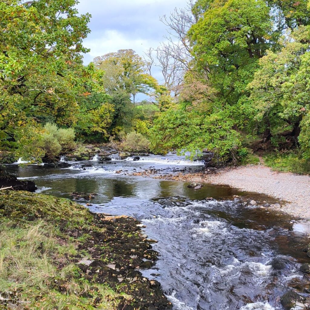
We now stick with the riverside path, and our next landmark after about 400m is the confluence of the Rawthey and the Dee – we see more of the latter further on in the walk. After a while the path veers left, and we find ourselves walking next to a wastewater treatment works on our left and a spillway on the right. The spillway is (thankfully) not related to the water treatment works – instead it is an interesting relic of a mill that soon comes into view ahead: Birks Mill.
Built in 1796 this water powered mill was involved in spinning cotton. The slipway we see is the channel that took water back from the water wheel to the river downstream. A fire in 1822 destroyed “everything except a small writing desk and some account books”. The 3 storey Mill was rebuilt and later included a house and garden suitable for a manager, three cottages a barn and outbuildings. It was lit by gas, warmed with steam, and had a waterwheel measuring 18ft by 12ft producing 30hp. Textile production stopped in 1909, and part of the mill was used for bobbin and brush head production. Today the Mill has been repurposed for food distribution and is used by JMP Foodservice.
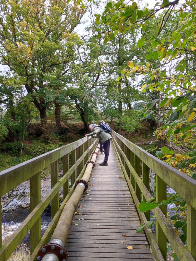
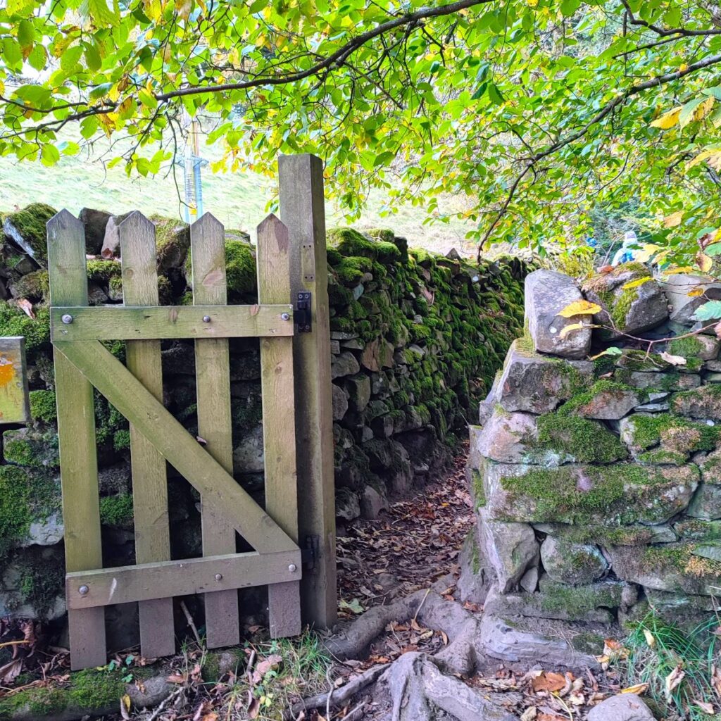
Adjacent to the mill is a footbridge. We cross this and head right, back along the other side of the Rawthey. We soon arrive at a gate where we have a choice of routes. Ignore the path to the left and continue along the riverside via a pedestrian gate.
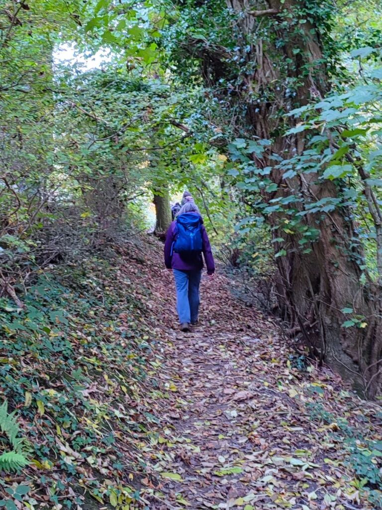
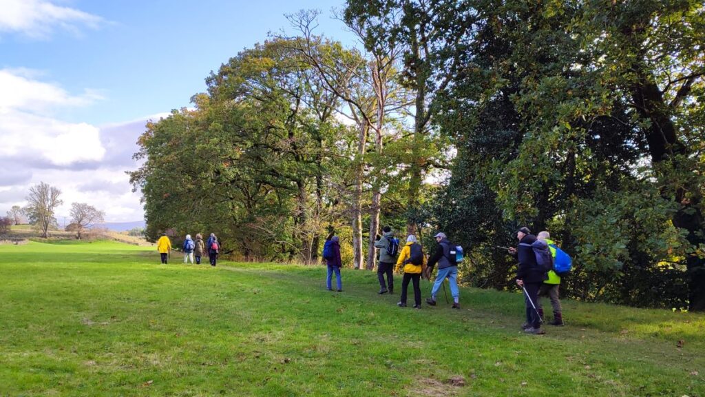
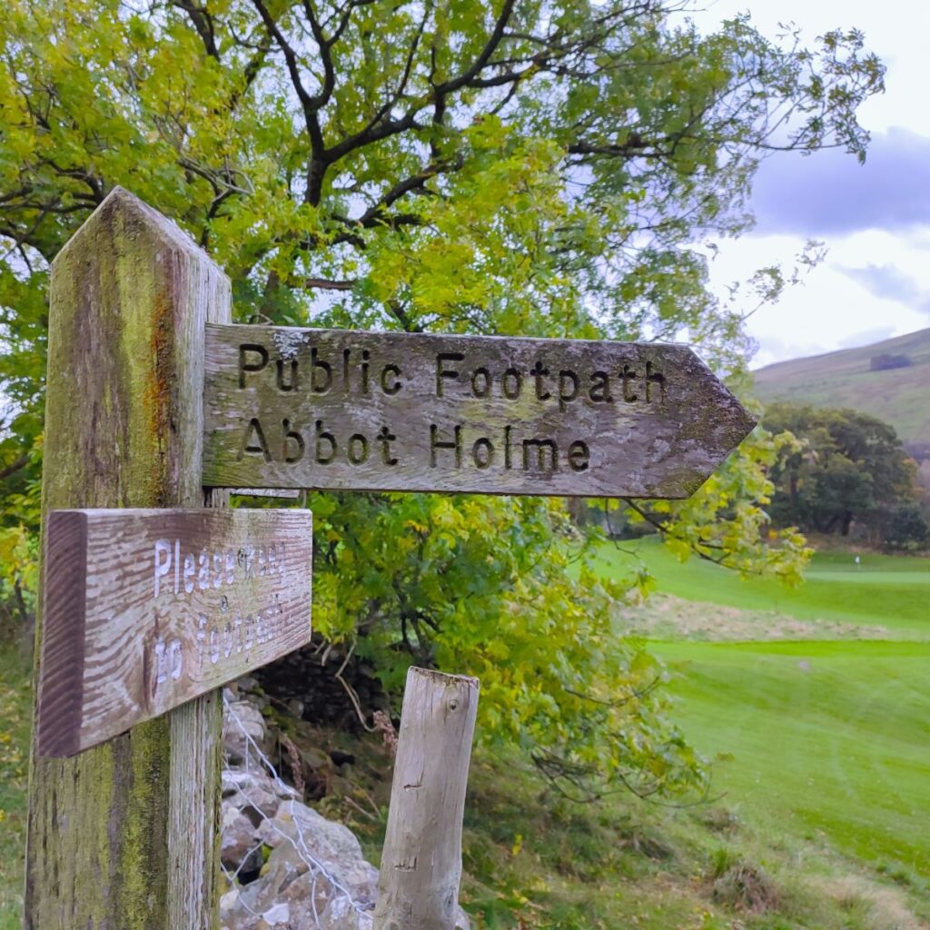
From here the path rises through woodland and then enters an open area at the top of a golf course. There is a public right of way over the golf course – signposted for Abbot Holme – and this soon arrives at a minor road.
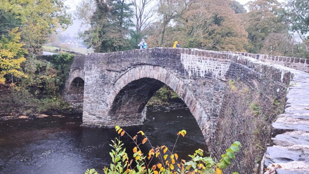
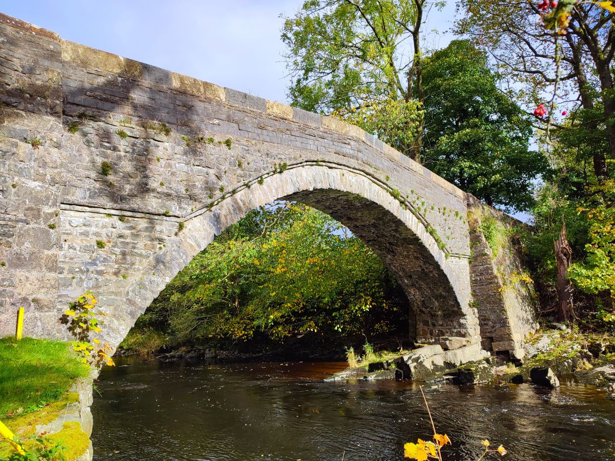
We go right here and just ahead we see Abbot Holme Bridge, also known locally as Catholes Bridge. This rather attractive stone arched bridge is Grade II* listed and dates back to the 17th century. Just over the bridge is a sign for a public footpath to Rash Bridge: We take this and follow the river Dee upstream for the next 600m or so. The route along here is not as clear as it might be, but in essence we follow the river without necessarily being right next to its banks until we arrive at a minor road.
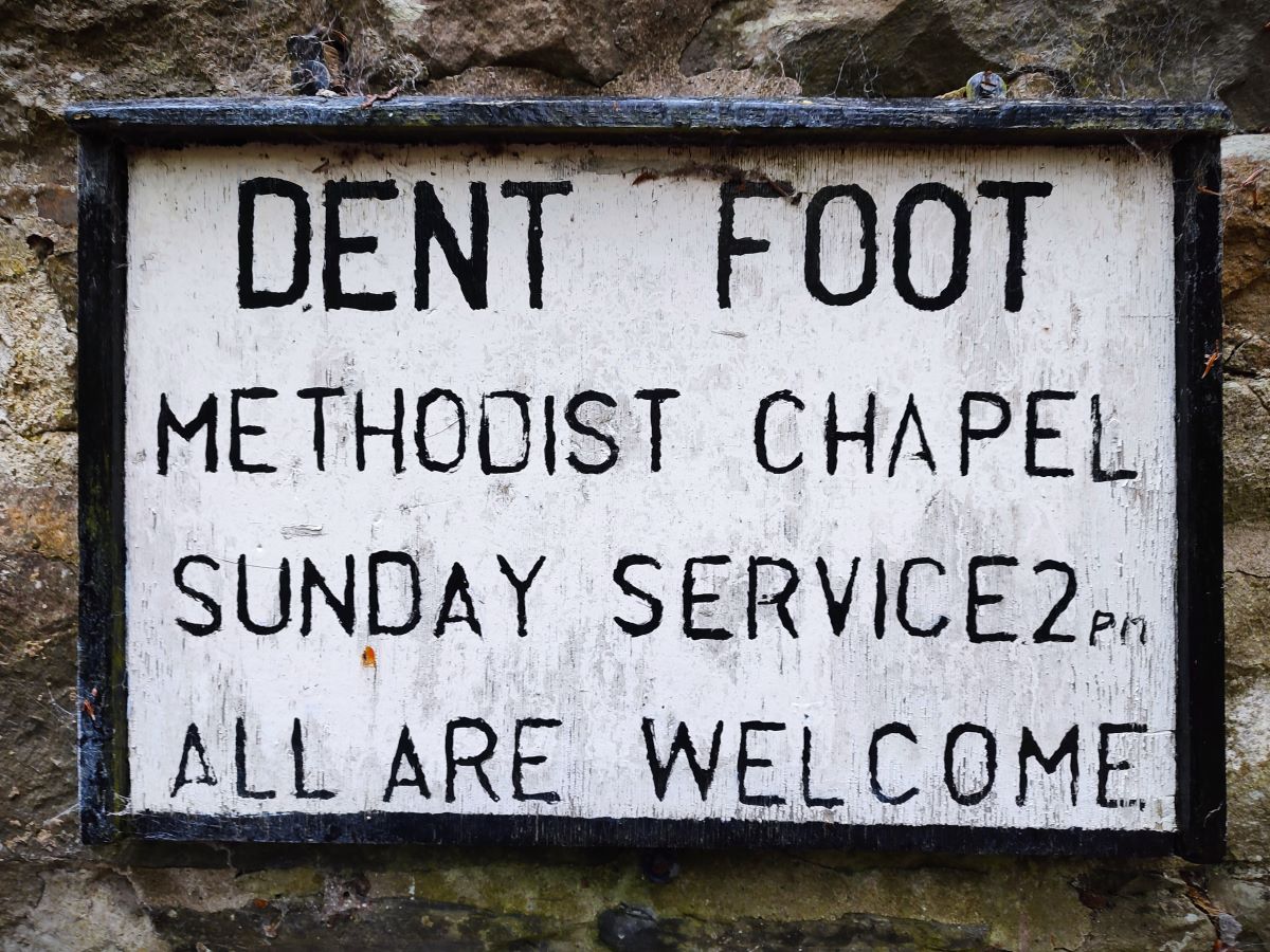
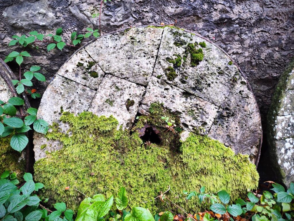
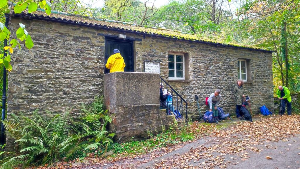
Once at the road we head left and walk along the road for the next 600m until we arrive at another old water mill, and just beyond that Dent Foot Methodist Chapel. This is currently disused. Behind the chapel, there is a weir. Weirs are often built to manage a head of water to drive a water wheel, and sure enough, we see a mill race running behind the chapel to the mill building – Rash Mill is a 16th Century water-powered Manorial Corn Mill, a corn mill associated with a manor house and supplying flour to the manor and surrounding villages. It was rebuilt in the early 18th century as a cotton carding and spinning mill and later reverted back to corn milling. It is now used as a joinery works. Neither the chapel nor the mill are open to the public, but there are a number of places to sit and enjoy a break before pressing on.
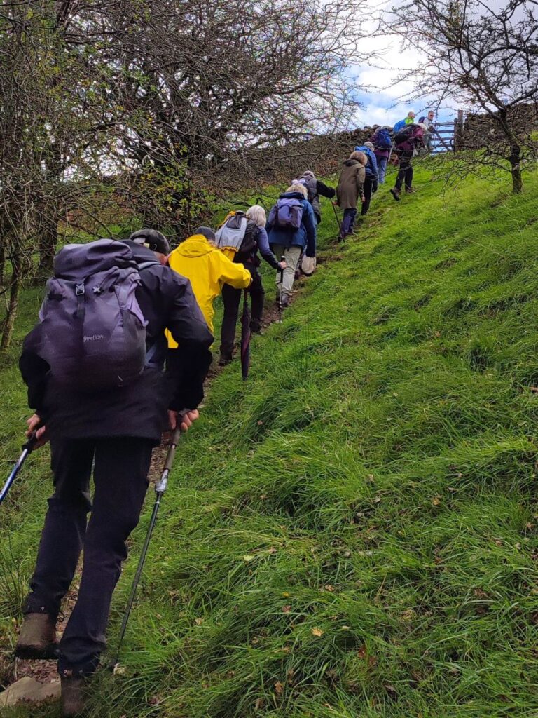
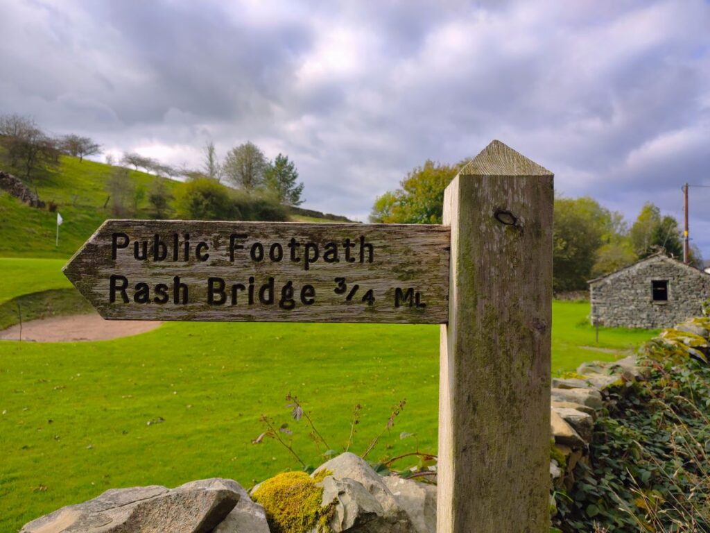
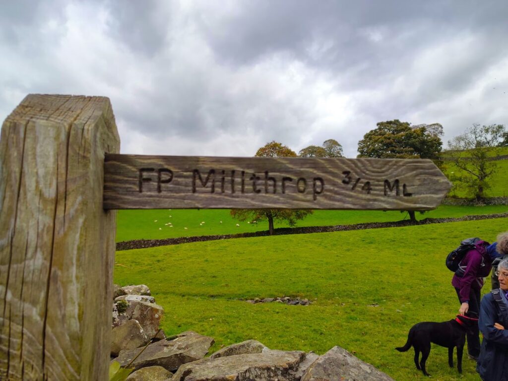
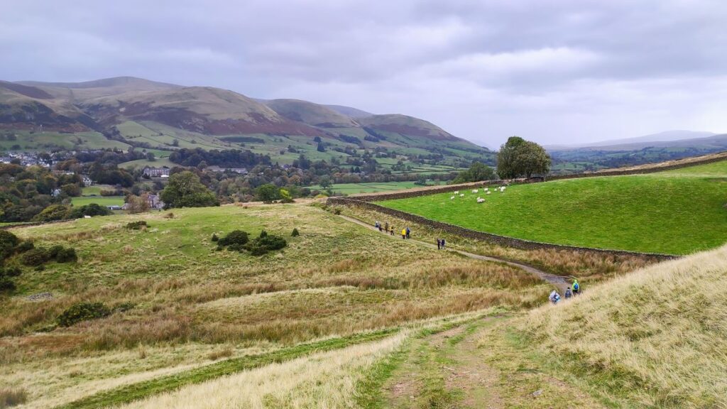
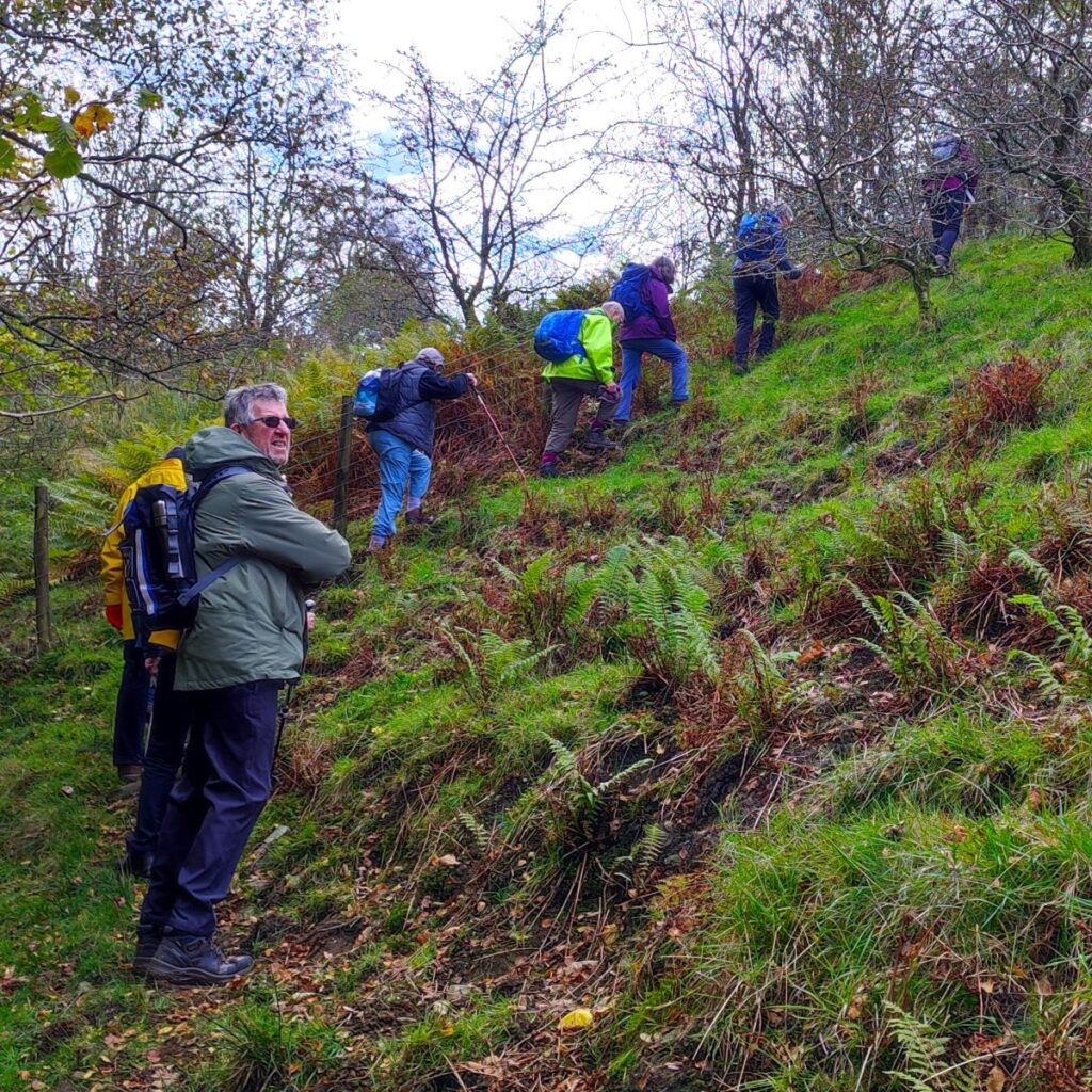
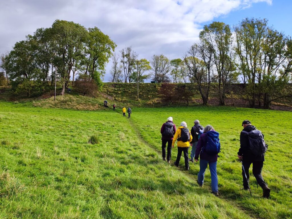
We continue along the road for another 80m until we see Rash Bridge – 18th century and Grade II listed. We cross this and when we arrive at the main road, go right. Just 100m later we arrive at Rash, and opposite a barn with an unusual, rounded roof, look left to find a footpath signed as Millthrop. We take this and climb steeply for a while – the first hard work we have done so far today.
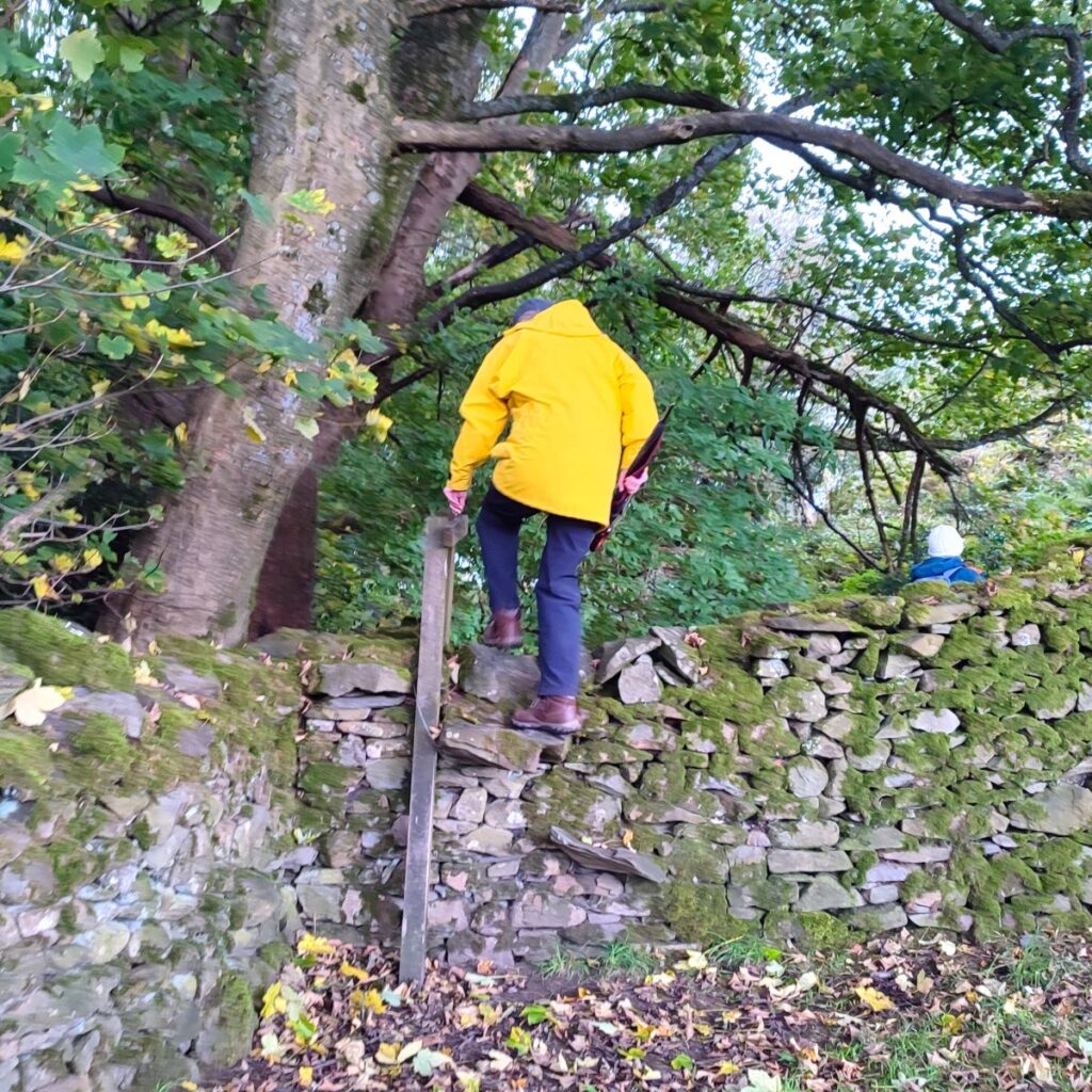
The climb continues for about 400m, crossing a couple of stiles to bring us to a green lane that forms part of the Dales Way. We keep left here and enjoy a flatter section before Sedbergh comes back into view ahead of us – to get there we need to go via Millthrop.
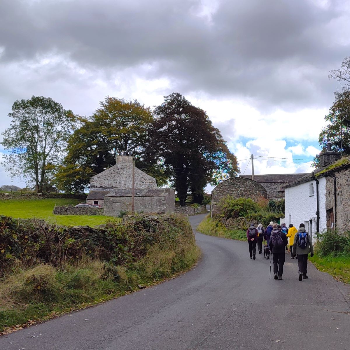
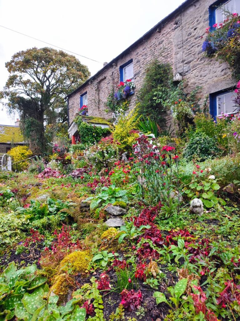
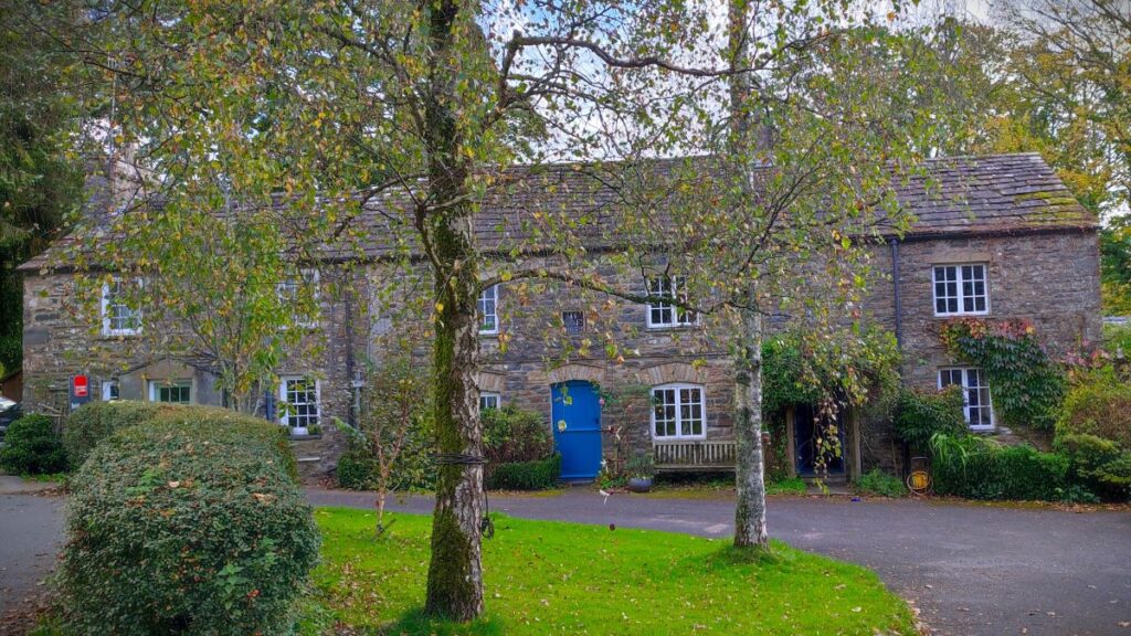
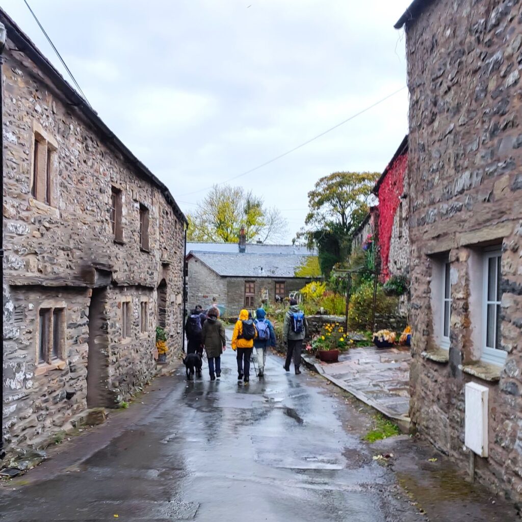
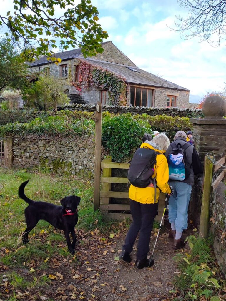
We continue along the Dales way, until we arrive at Millthrop, turning right onto the minor road through the centre of this lovely village. The residents here clearly invest a lot of time and effort into keeping their gardens and properties in an attractive condition.
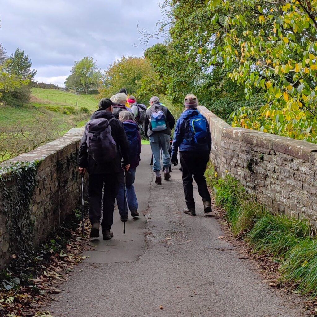
After just 100m, we see a road on the left and follow this down to the larger road which crosses the Rawthey at Millthrop Bridge. Like Rash Bridge, this is Grade II listed and dates to the 17th century.
We cross here and are now on Loftus Hill – we could follow this road back into Sedbergh, and indeed we do road walk for a short while, but after just 150 we see a path on the right heading across fields to one of the buildings belonging to Sedbergh School. We take this and aim for the large stone building to pick up a path which runs to its left. We follow this, and after crossing an access lane, soon arrive back at Sedbergh on Long Lane.