Jump to . . .Step by Step | OS Map | Downloads | Gallery | Fly through
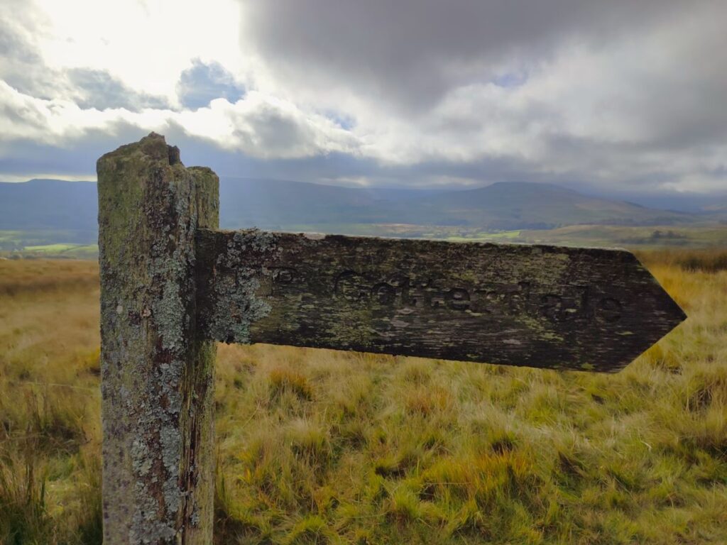
How many Dales are there in the Yorkshire Dales? It sounds like the sort of question that should have a definitive answer, but not so – the consensus is at least 20 but maybe up to 60 depending on what you define as a Dale, and what geographical limits you accept. What is clear, is that some are less well known as others, and one that is often overlooked is Cotterdale; Not because its unattractive, but probably because it’s a “dead end” dale – the road leads to the village of Cotterdale and then stops, so there is no through traffic.
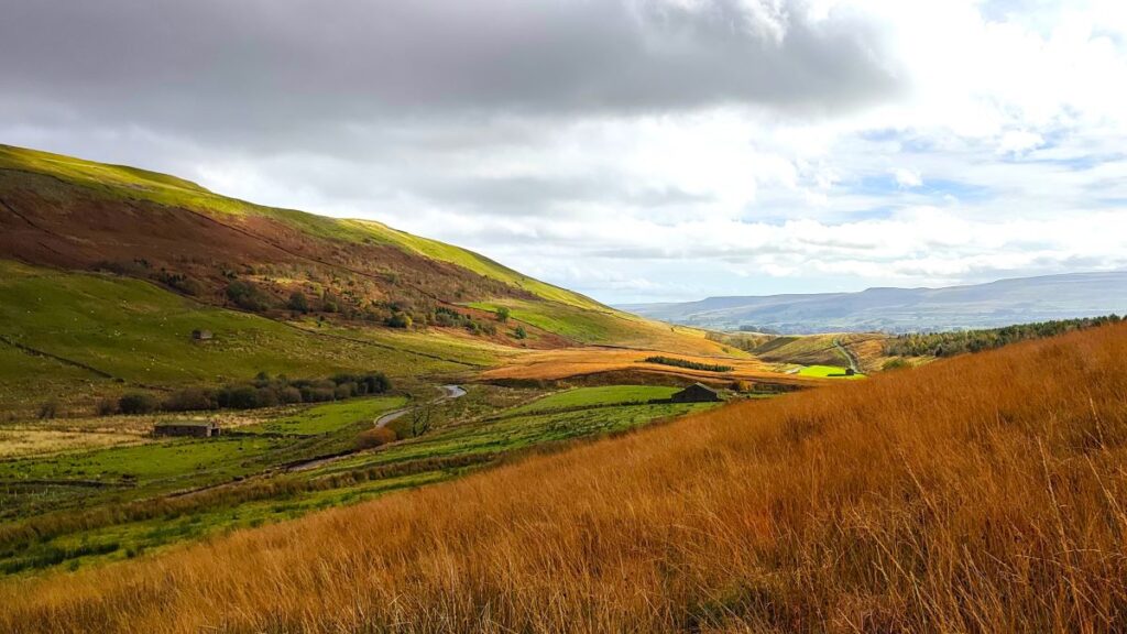
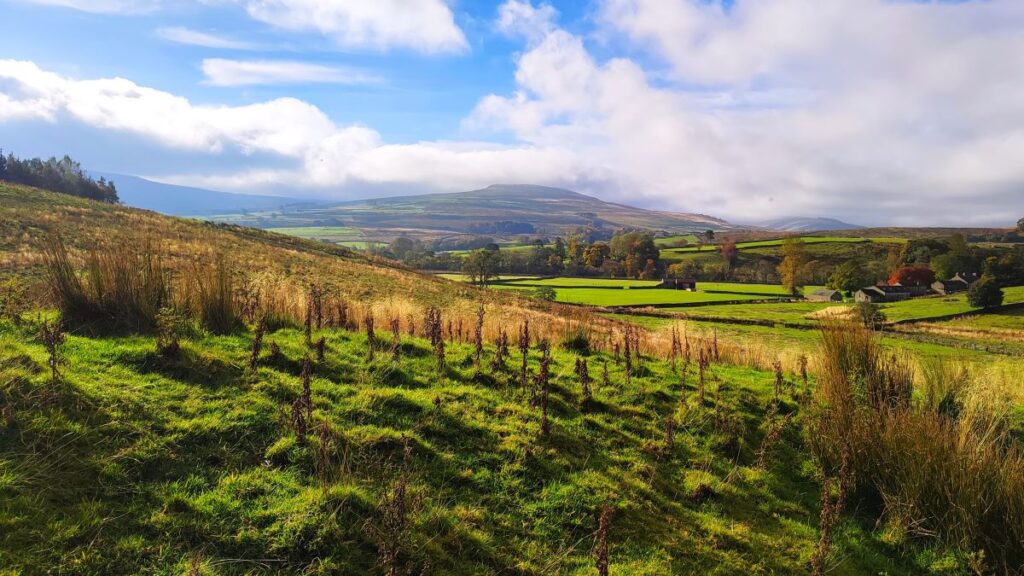
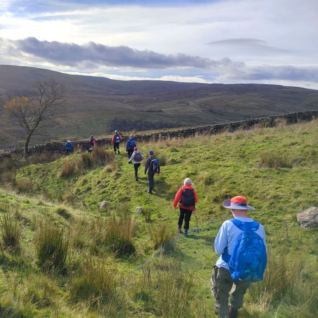
In our opinion, the lack of traffic is a good reason to visit – but it’s not the only one. This moderately challenging walk also offers a lot more: great views over Wensleydale almost as far as Garsdale Head, a lovely dales village, the potential for a short diversion to a perfect picnic spot, excellent views from Cotter End down to Hawes, before a tranquil riverside stroll back to the start with railway viaducts, a hidden waterfall, and the opportunity to add a visit to Cotter Force, all available on the return leg.
- Total distance 12.5 km (7.8 miles)
- Total ascent 306 m
- Moderate walk
Step-by-Step
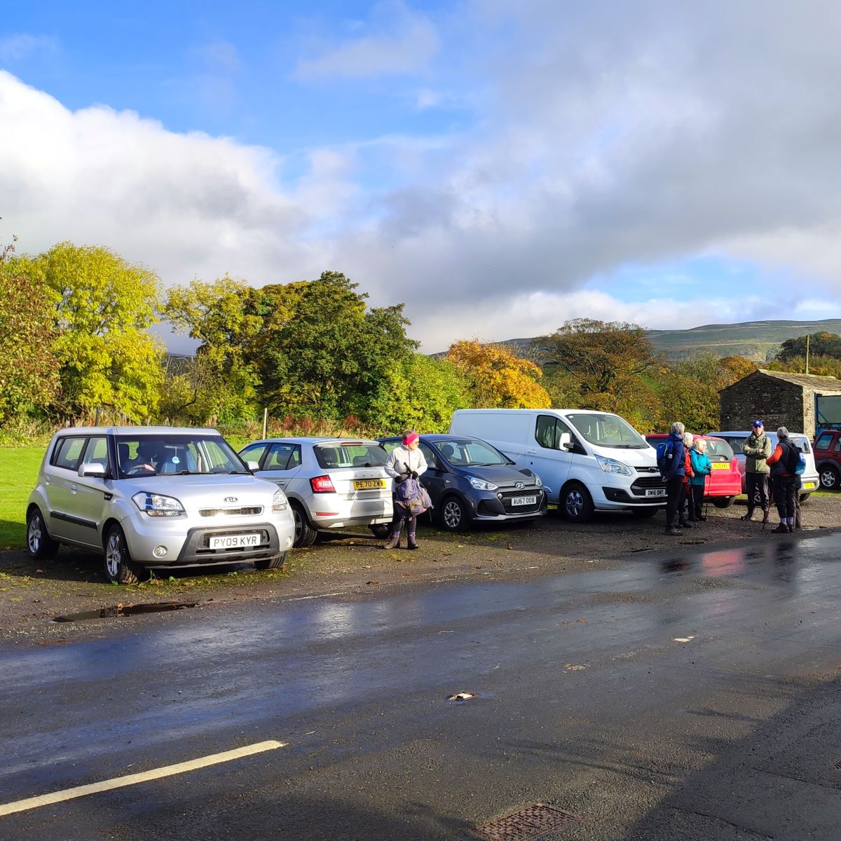
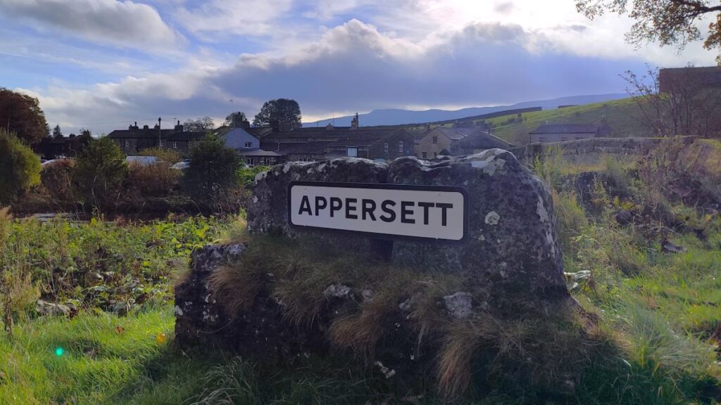
We start from Appersett – using roadside parking just to the east of the road bridge over the Widdale Beck, where there is a wide village green. Parking is generally quite easy here, but as always, please be considerate to residents and do not block access.
If you are using Sat Nav to get to the start, then enter DL8 3LN as a postcode, or if you prefer What-3-Words, the tag is tequila.satin.sheep, which corresponds to the OS grid reference SD85809069.
To learn more about Appersett, click here or here.
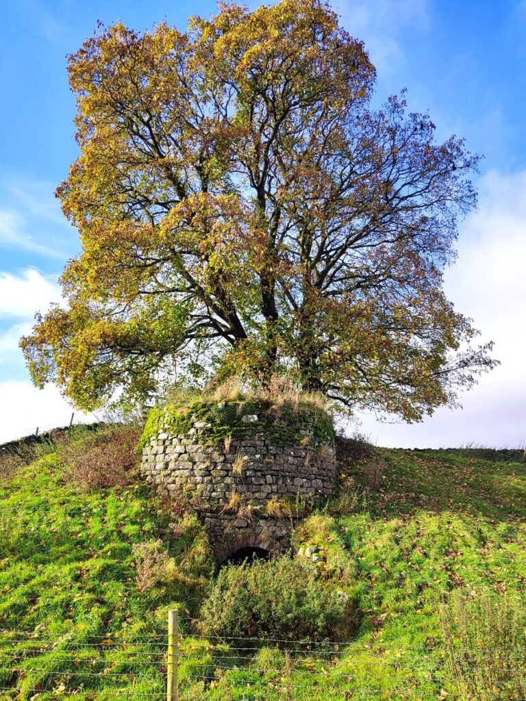
From here we head away from Hawes and then cross the road bridge over Widdale Beck, noting an attractive Lime Kiln on the left hand side of the road. This is adjacent to a right of way, so feel free to take a closer look before coming back to the road and continuing.
Our next landmark is the road bridge over the River Ure just 200 ahead, and we have a choice here: We can walk on the road – the option we took on the outbound leg – or we can take the path through the right hand side of the field to the left of the road – our choice on the return leg. Either way we need to come back to the road to cross the bridge over the Ure. This needs care as visibility for motorists is not good.
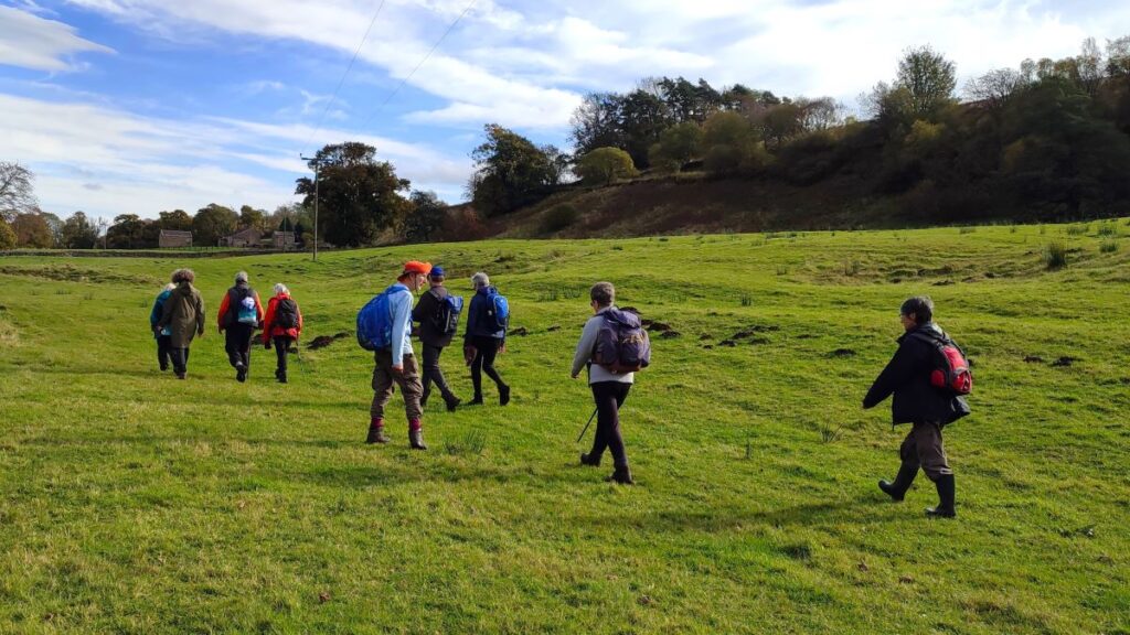
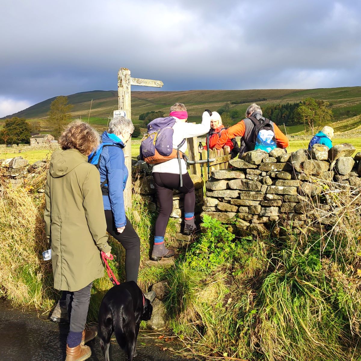
Once over the bridge, we stay on the road as it curves round to the left and immediately see a junction – once we get there, we note a gate taking us onto a public footpath across the field and we see no more roads for a long while.
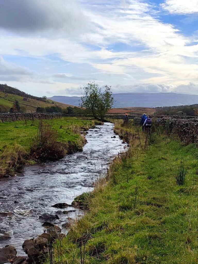
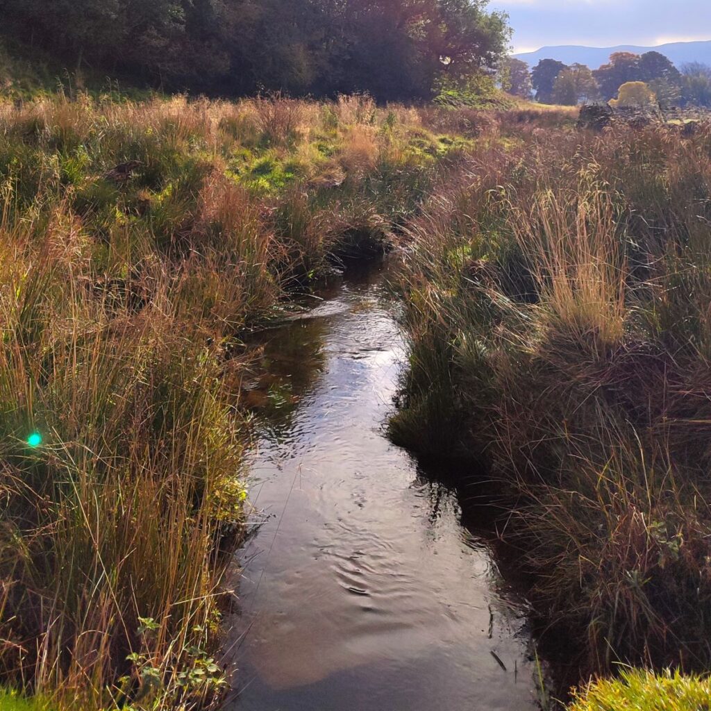
The route through the field is clear and takes us North to a concrete slab footbridge over Carr Sike, one of those Dales streams which almost disappears after a dry period, returning to present a navigational challenge when in spate.
Once over the stream, the path bears left a little, and heads gently uphill, until after 400m or so there is a choice of routes indicated by a fingerpost. We could go right toward Hardraw as we did on our Appersett Mosaics Walk, but on this occasion we carry onward and upward to cross a ladder stile before continuing up to a wide gate which we use to access a broad rocky lane.
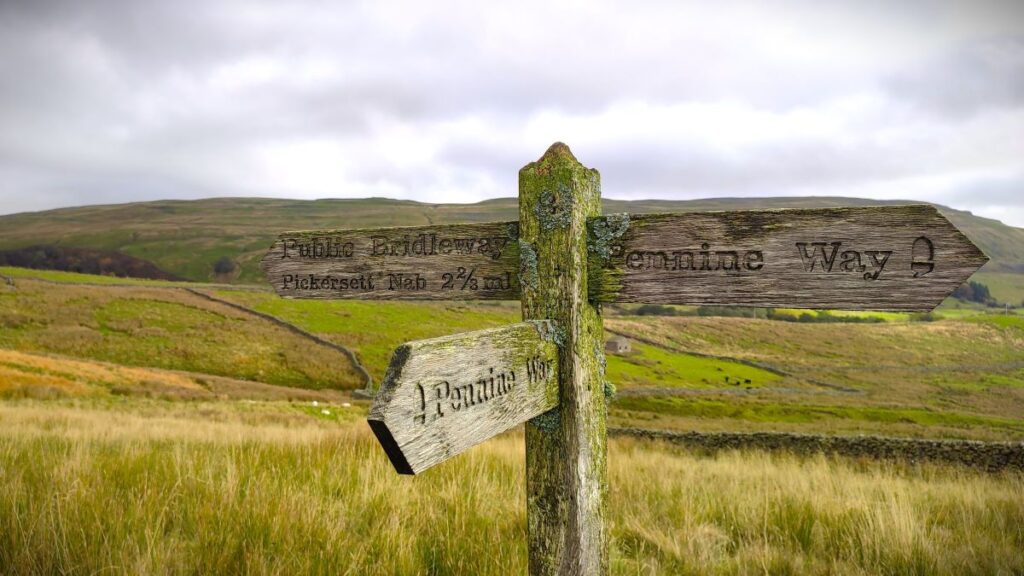
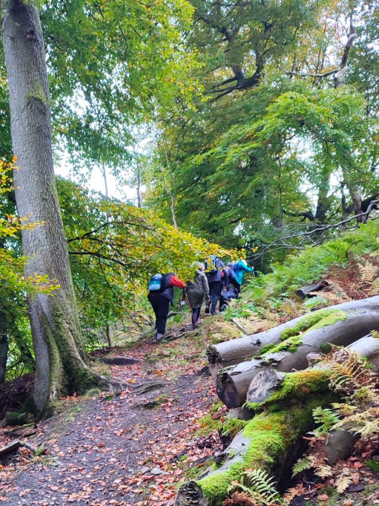
We are now on the Pennine Way, so don’t be too surprised to see other walkers here. This iconic path was the idea of the journalist and rambler Tom Stephenson, taking inspiration from similar trails in the United States, particularly the Appalachian Trail. Stephenson proposed the concept in an article for the Daily Herald in 1935, and lobbied Parliament for the creation of an official trail – it took until 1965 for it to be completed. The Pennine Way celebrated its 50th anniversary in April 2015, and special four-part BBC One series “The Pennine Way” featuring Paul Rose was broadcast throughout April of that year to celebrate. That series is no longer available on iPlayer but you may well find copies elsewhere – this link for example.
Click here for a Wikipedia article about the Pennine Way, or here for NationalTrails link.

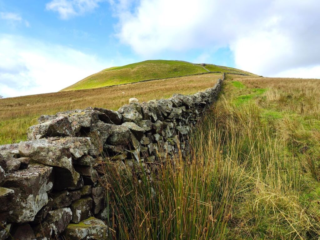
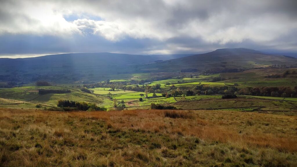
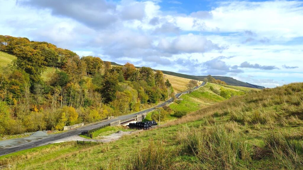
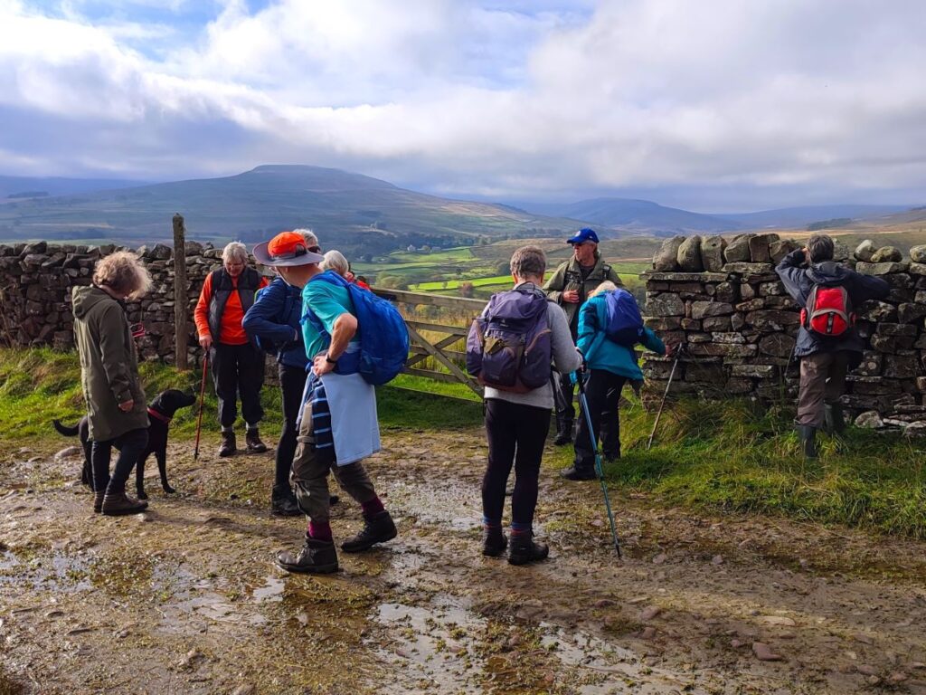
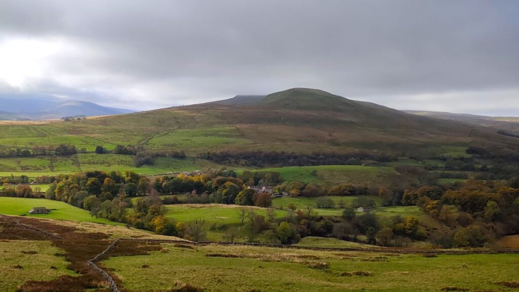
Once at the Pennine Way, we go left, and head uphill for a little while – be aware that the best views along this section are behind us – back across Hardraw and down Wensleydale, and to the right – where we can see the spoil from mining activity on Abbotside above Simonstone.
We soon meet a gate, and then just beyond this we find a fingerpost offering a choice of routes. To the right is the Hearn Coal Road, a spectacular (but out and back) path to Pickersett Nab, or to the left, and our choice for today, is the Pennine Way.
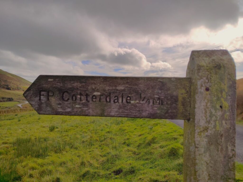
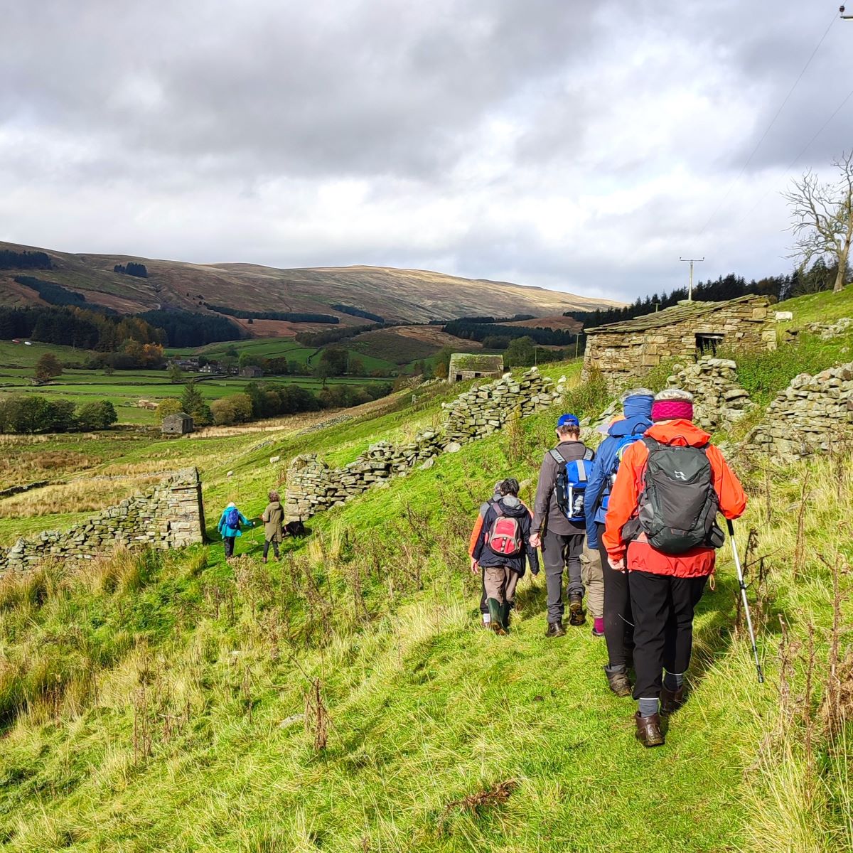
We stay on the Pennine Way for just 100m though, and soon find a fingerpost offering a much smaller path on the left, which we take. This follows the contours around the side of the hill, whilst the Pennine Way route climbs relentlessly. It’s worth noting that if you want a longer and slightly tougher version of this walk, you could stay on the Pennine way for another 1000m to take a second path around the contours on the left at a higher level – this comes down through woodland to the top end of Cotterdale.
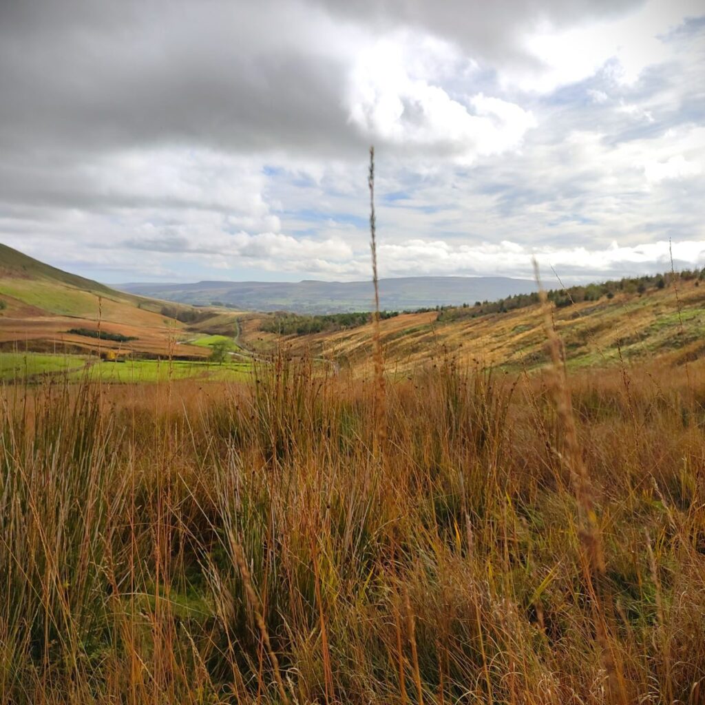
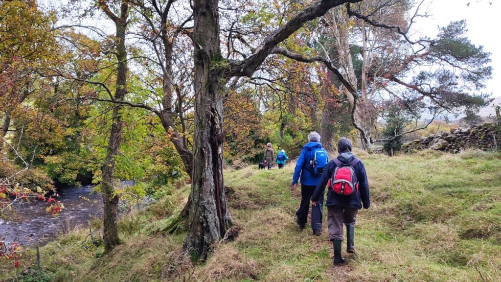
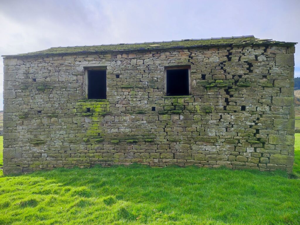
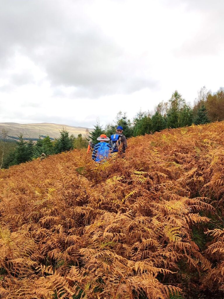
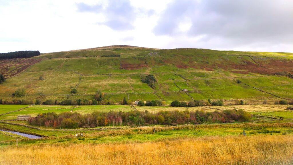
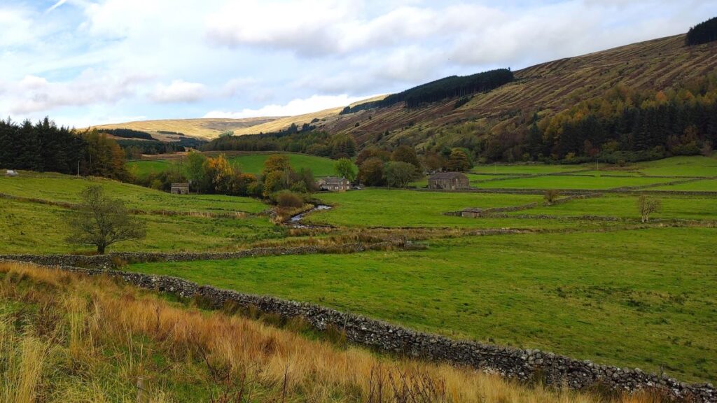
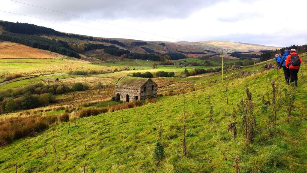
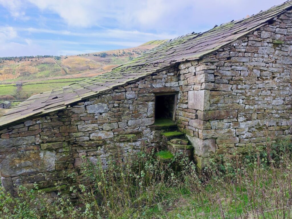
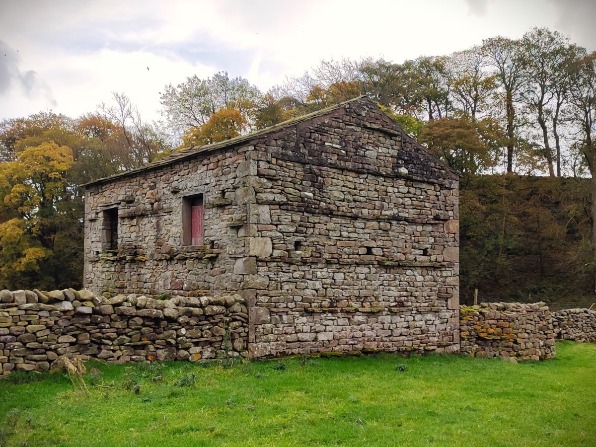
From here the path is generally clear, following the contours, or falling slightly as we head northwest up the valley toward Cotterdale. On the way we see a number of atmospheric barns, and depending on the time of year may be chest high in bracken at times.
As we get lower, we cross a stile onto meadows at the riverside, and continue on toward the village, eventually arriving at a ford over a lively stream – this is East Gill. If the ford is too deep to safely traverse, as was the case for our visit, don’t worry – just head left and cross the stream at a footbridge 30m downstream.
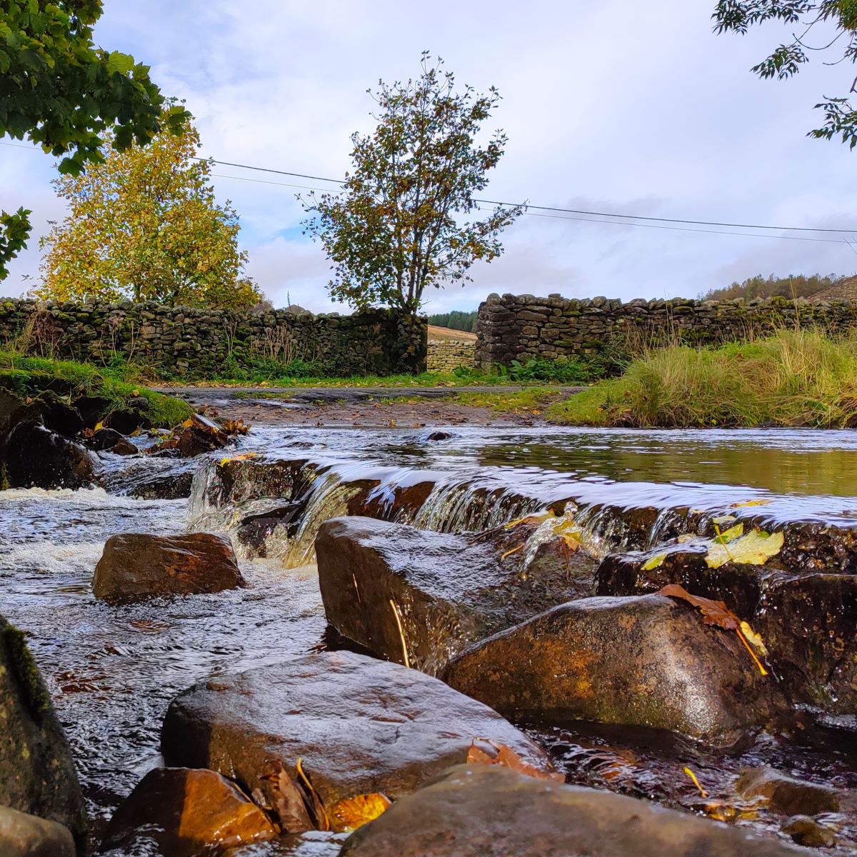
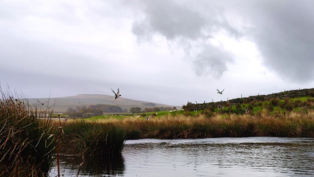
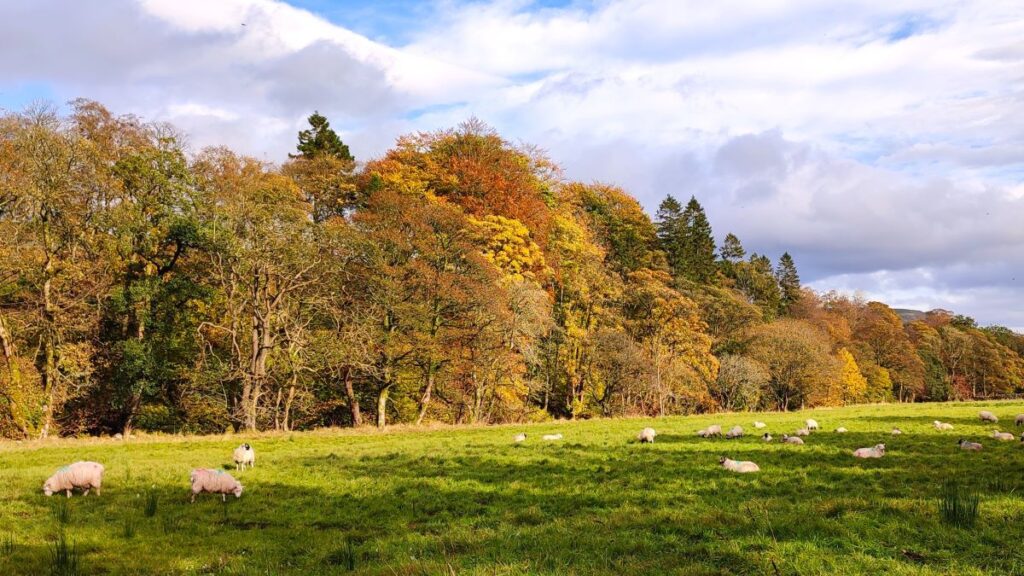
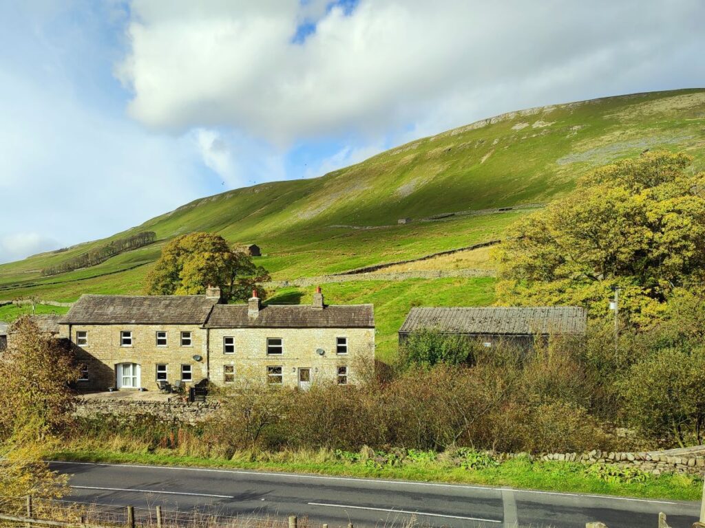
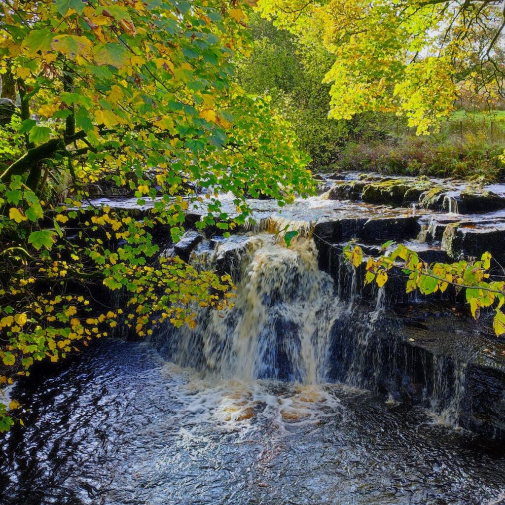
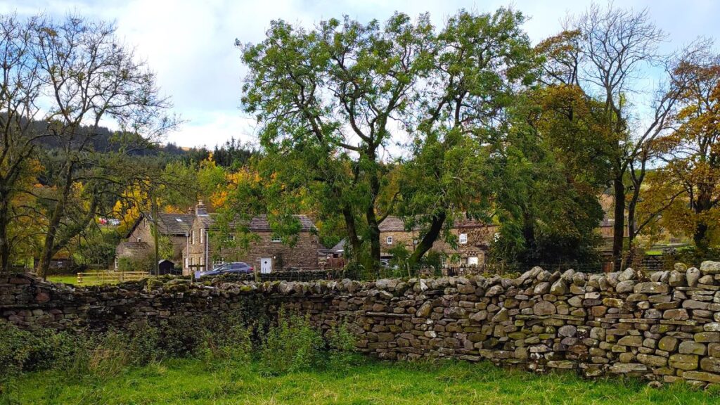
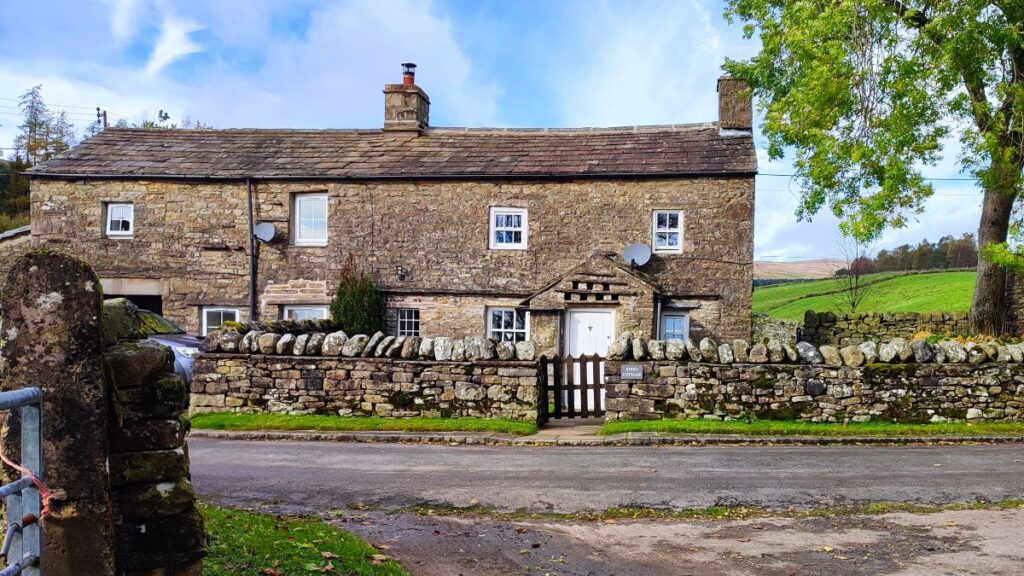
We are now in Cotterdale – the name is thought to be derived from the Old Norse kotar, meaning “huts”. An Iron Age sword, with bronze scabbard, was found in Cotterdale by Lord Wharncliffe and is now in the collection of the Society of Antiquaries of London. It is apparent then, that this area has been occupied and farmed for a long time. We see flat fertile meadows which are drained by the imaginatively named East Gill and West Gill, which between them boast nine waterfalls. The two streams join to form Cotterdale Beck, which itself flows over three more waterfalls, the most prominent of which is Cotter Force – more on this later.
It is worth taking a few minutes to explore Cotterdale – it’s a lovely village, but don’t expect tea rooms or pubs or indeed any retail opportunities. If you do want to sit and enjoy a picnic though, head right for 300m along the side of the beck (walking upstream) until you find a second crossing where there are convenient picnic tables set in pleasant woodland. You may well see red squirrels or even deer here. The track near the picnic site incidentally is where the longer version of the walk we referred to earlier enters Cotterdale.
From the ford / bridge over East Gill, we would under normal circumstances head along the riverside path going downstream heading for a footbridge over West Gill just before the confluence of the two streams. Indeed, you will note from the GPX trace on our website that this is exactly what we started to do, only to discover that the bridge is missing. You could click here to see if this is still the case.
In practice this is not a big issue – the path we were intending to use comes up to the minor road into Cotterdale just 200m after the missing bridge so all we need to do is pick up the road in the village and head over the West Gill to follow the road round to the same point.
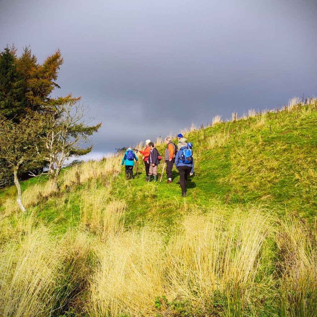
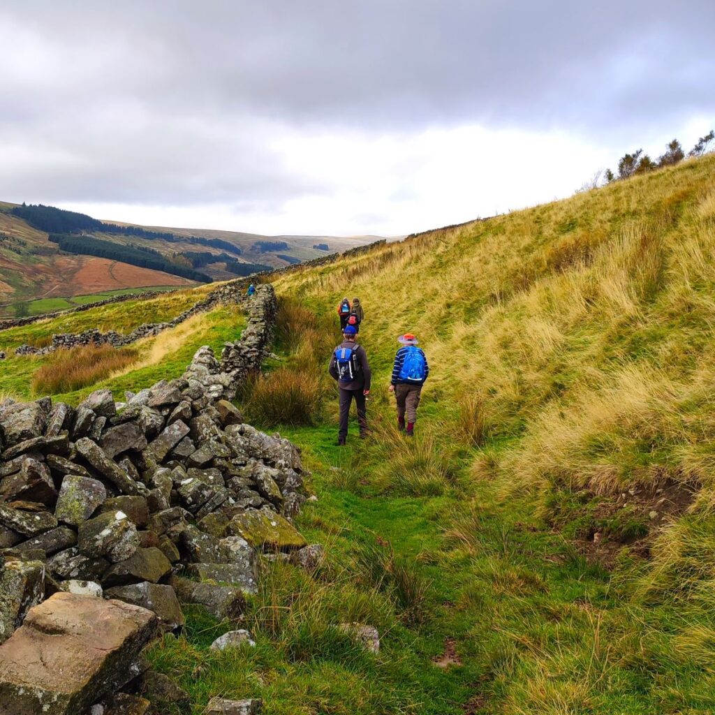
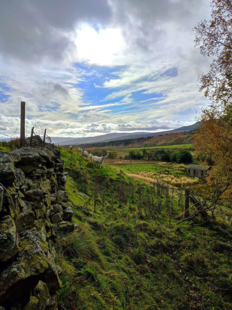
Once at the point where the intended path meets the road, look to the far side of the road and notice a fingerpost taking us over a ditch and steeply uphill, over rough ground for a little while. This section of the walk can be quite hard going, especially when the ground is wet, so take the opportunity to stop from time to time and enjoy the views across the valley where we can clearly see the paths we walked earlier in the day.
We now head southeast through Low Rigg and then High Rigg to arrive at a broad track down from Cotter End – a fantastic viewpoint that features in our High Way Upper Wensleydale walk. The distance between the road at Cotterdale and this track is only about 600m, but it may feel like more.

Once at this broad track – which forms part of the Lady Anne’s Way – we need to find the stile opposite which takes us in much the same direction as before and down toward the main A684 at Thwaite Bridge.
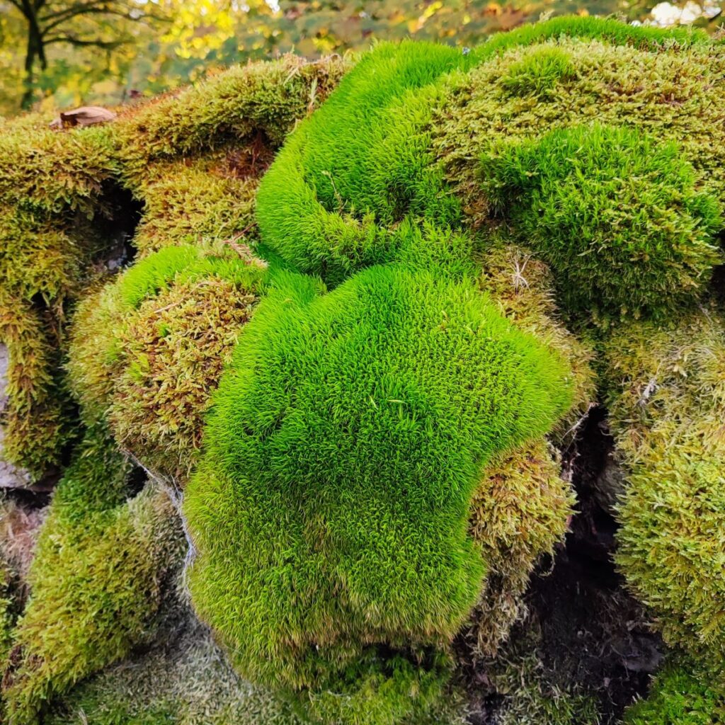
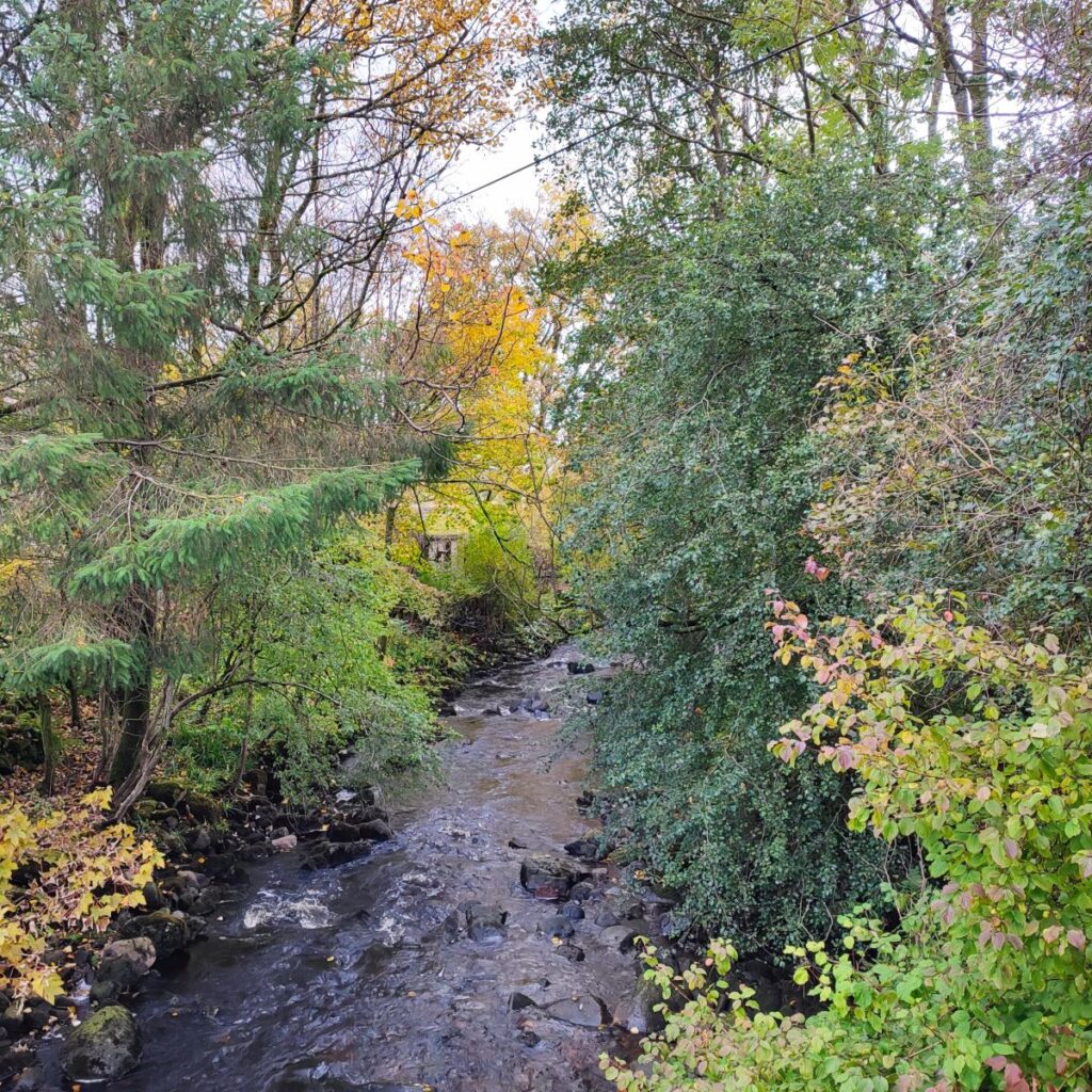
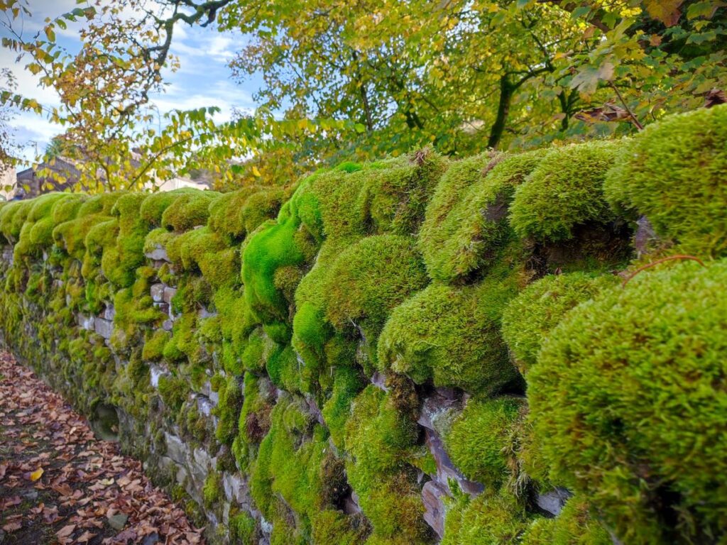
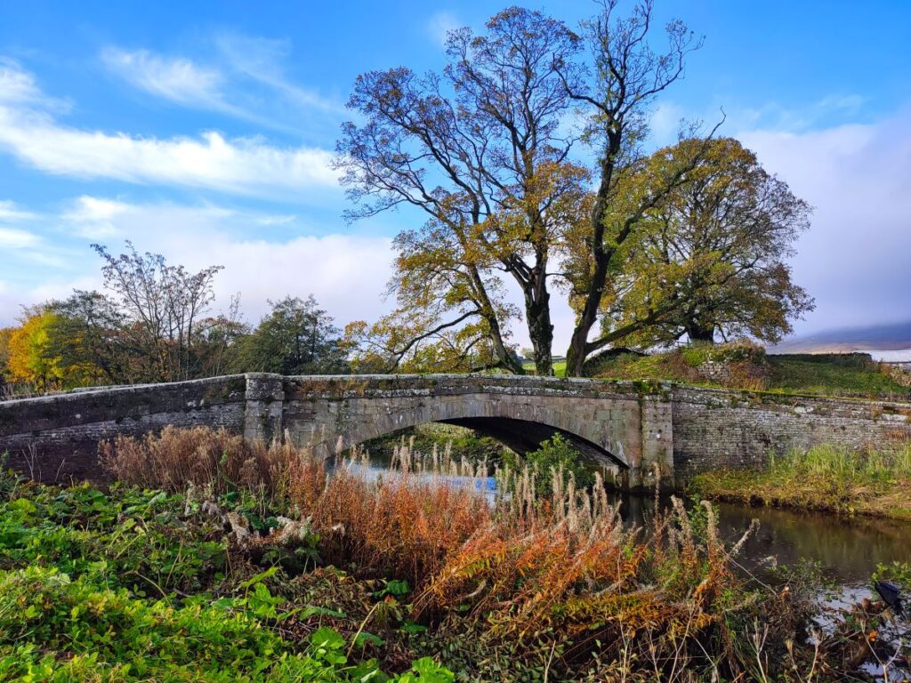
Here we cross the river Ure, and once at the road look for the footpath sign opposite taking us through a gate and onto a path running to the right of a drystone wall. This takes us up steeply at first but then levels off with a glimpse of a railway viaduct ahead. The path soon curves left around the back of the farm and then falls to a wide gate where we access a rough farm track and see a bridge over the Mossdale Gill. To the right of the bridge is the lower of two sets of falls and just beyond is a section of drystone wall aptly covered in very verdant mosses.
To our right here, upstream on the beck is a second, higher waterfall – we can see it through the arches of the railway viaduct. There is no public footpath to either the falls or the viaduct itself, and Bentham Footpath Group do not encourage trespass. Videos are however available online from walkers who we assume have sought the required permissions from the landowner.
Ahead of us we see a farm, and we take the clearly signposted path between the buildings adjacent to a very attractive barn. We are now on a route that runs through flat meadows along the side of the Mossdale Gill for 300m until it’s confluence with the Ure, then along the Ure for a further 400m until we meet a track coming down from the right. This is a section of the walk that can be a little boggy after heavy rain.

Once at the track we head left and follow it for about 700m, passing Birkrigg Farm. Not far beyond the farm, the track swings to the left and approaches the A684: This is our opportunity to add a diversion to Cotter Force. To do so head right on the main road and walk carefully along the road for 50m to find a layby. From here there is clear signage and a good quality path up to the waterfall.
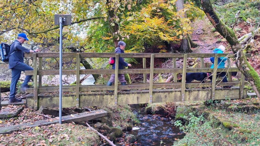
On the day of the Bentham Footpath Group visit, we opted not to visit the falls – the weather was changing at this point, and we were hoping to complete the walk in the dry, so from the access road to Birkrigg farm just 30m from the A-road we continued with the path to the south of the Ure heading back toward Appersett. This takes us past a barn, then over a wooden footbridge, before climbing and moving a little further way from the river.
From here the path is clear and essentially follows the river back to the road bridge that we crossed at the start of the walk – it is worth noting though that there are some points in this section where the river is not visible.
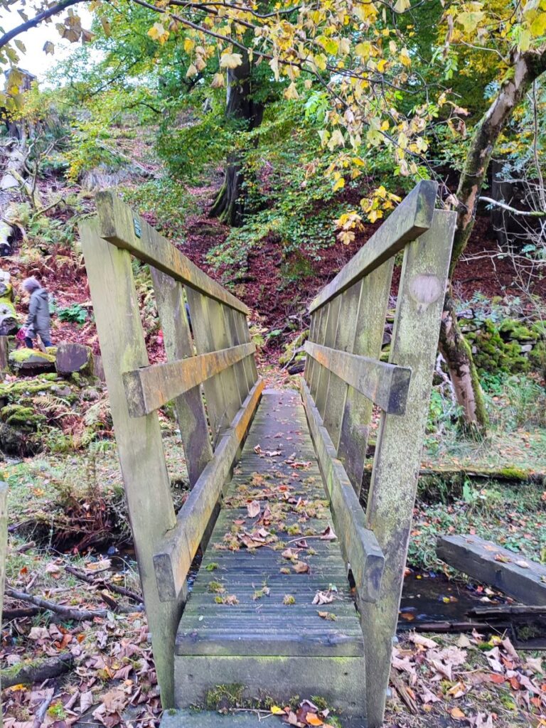
Once back at the road bridge, we took the small wooden footbridge over the stream and then walked within the field rather than using the A road, arriving back at Appersett near the lime kiln. From here we cross the last bridge to get back to the cars.
Bentham footpath Group walks are rated according to their length and elevation change, and at 12.5 km this one is assessed as “moderate”. Users should be aware that how much of a challenge the walk feels will be influenced by the conditions on the day. After a dry spell, with ample breaks, this walk will feel easy, but on a wet and windy day the ground will be soft and progress will be tiring, making the walk will feel more challenging.