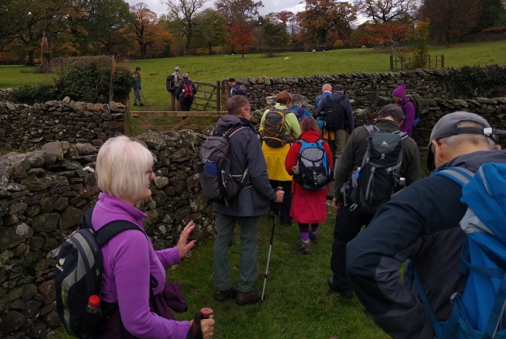
This long but relatively gentle walk starts from The Devils Bridge in Kirkby Lonsdale, and takes quiet lanes through High Casterton to Casterton Village. From here we follow the base of Barbon Low Fell over to Barbon where we cross the A683 and return through Kirkby Lonsdale Golf course before taking a path down the side of the River Lune for a while.
We briefly return to Casterton before finding a route back to our starting point via Casterton Golf Course and the caravan park. A brief glance at the OS map shows opportunities to shorten this walk, which solely because of the 15km distance we classify as challenging.
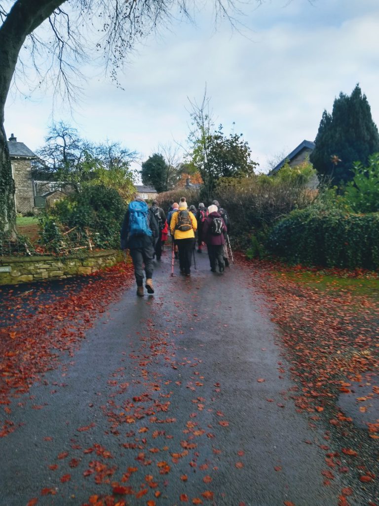
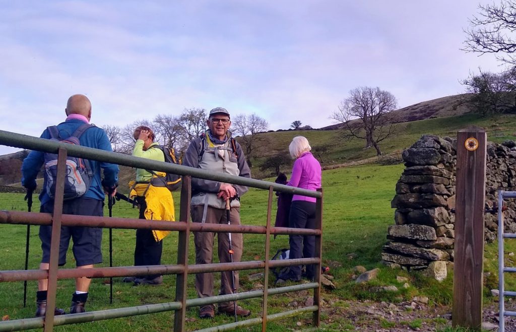
The walk starts at the car park next to Devils Bridge in Kirkby Lonsdale. Parking is free – although the site tends to be busy so a prompt start is recommended. Public toilets are available on the Kirkby side of the river, and for those with energy left after the walk, Kirkby Lonsdale town has much worth exploring.
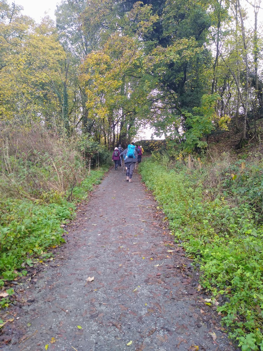
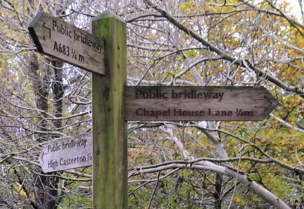
We leave the car park on the East side of the A683 from the point where the access road turns 90 degrees, taking a steep well surfaced track away from Kirkby. After perhaps 150 m, this track meets a slightly larger access road at a crossroads. The road crossing our route is Laitha Lane – We cross straight over continuing as before (SE). Ahead of us we see some substantial houses, this is Chapelhouse. Just before the houses, the quiet road we are using (unsurprisingly called Chapelhouse Lane) turns left, and we now head out in a NE direction along Chapelhouse Lane.
We keep on Chapelhouse Lane for a while, passing a small copse of trees on the right, and a small lane again on the right, before we arrive at Cragg House Farm where we meet a more substantial junction. We turn left, making our overall direction of travel as before at NE. We are now tracking the direction of the disused railway line, which remains on our right hand side; This was the Ingleton Branch Line of the Lancaster & Carlisle railway which closed to passengers in 1954.
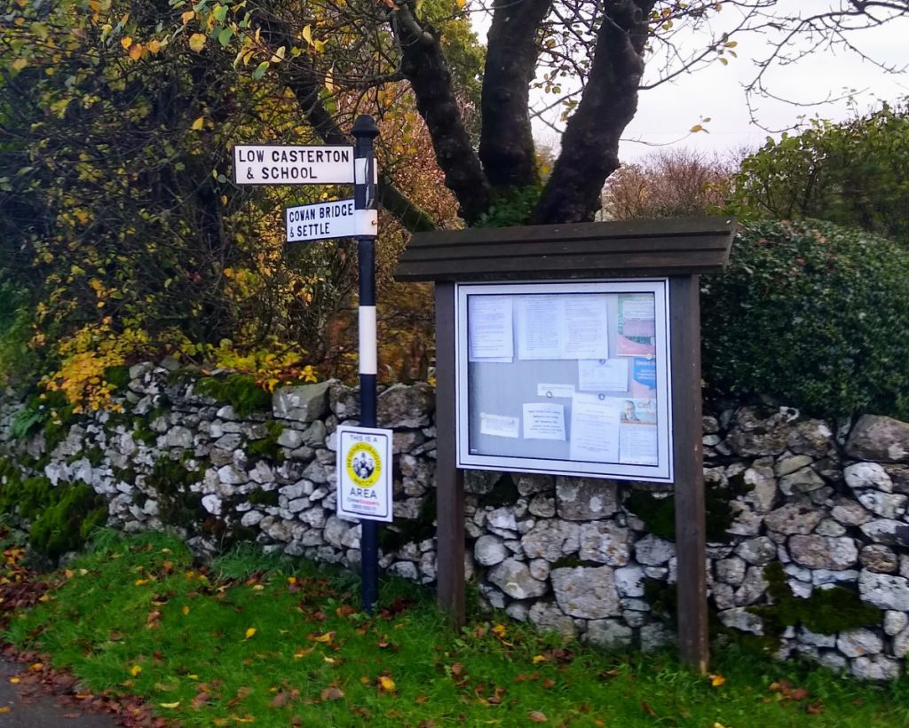
We soon reach another junction – again a crossroads although the two side roads now come in at angles. We take the middle route, clearly signposted toward “Low Casterton and School”. Our direction remains Northerly.
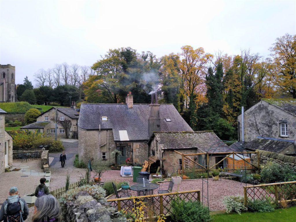
We press on along the well made but usually traffic free road until we arrive at Casterton where the village is dominated by the Casterton School, now the prep school for Sedbergh School.
The Original Casterton School was founded in 1823 by Rev William Carus Wilson as the Clergy Daughters’ School in Cowan Bridge to educate daughters of financially disadvantaged clergymen. It moved to its site at Casterton in 1833. Four of the Brontë sisters (Maria, Elizabeth, Charlotte and Emily) attended the former Cowan Bridge School. A stone inscription to commemorate this is present at the original site and the current school at Casterton still acknowledges the literary connection by naming buildings accordingly. Also worth noting is the Holy Trinity church – built between 1831 and 1833 also by the rather busy Rev Wilson.
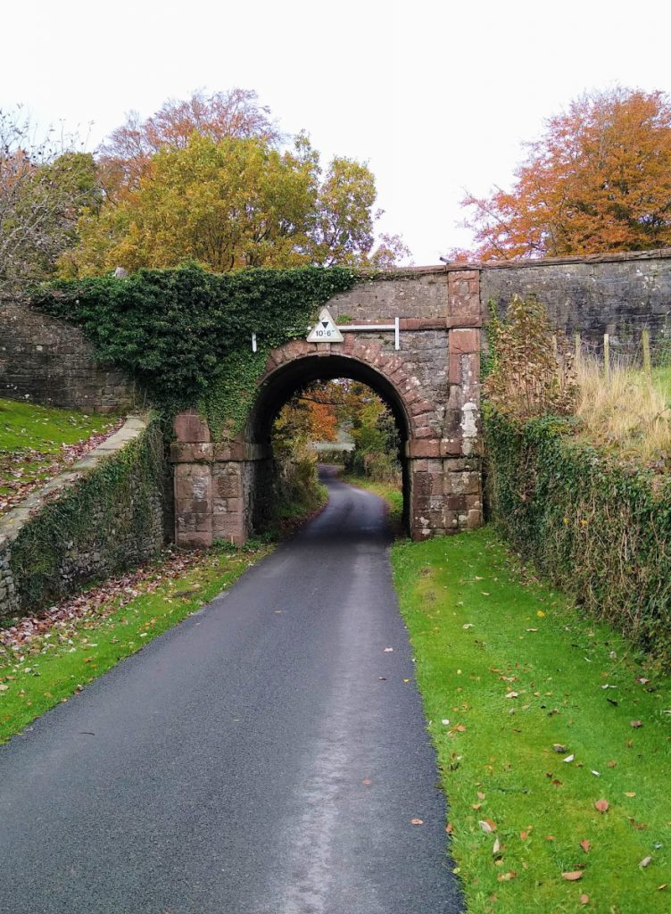
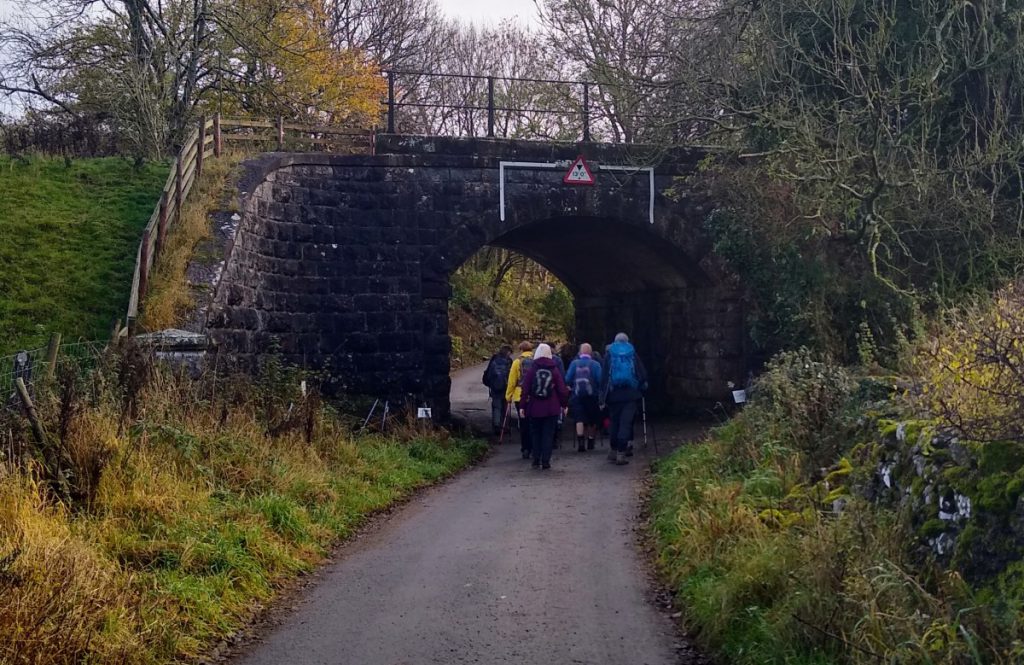
From the church, the road winds round to the right in front of the school. We follow, passing some new housing before arriving at a tunnel under the railway. After walking under the railway we soon meet a road junction. The road which crosses our route is Wandales Lane – it follows the course of a Roman road from Sedbergh in the North to Low Bentham in the South – although nothing remains to be seen in Bentham.
We cross straight over Wandales Lane and head up a small track in a NW direction toward Langthwaite – a hamlet of just a few dwellings. At this point we meet a metal gate across the lane, with a roundel advising of a path straight ahead. That path leads up to the aptly named Fellfoot Road. We don’t take that route on this occasion, instead, we strike out left through the fields on another path toward Barbon at a lower level.
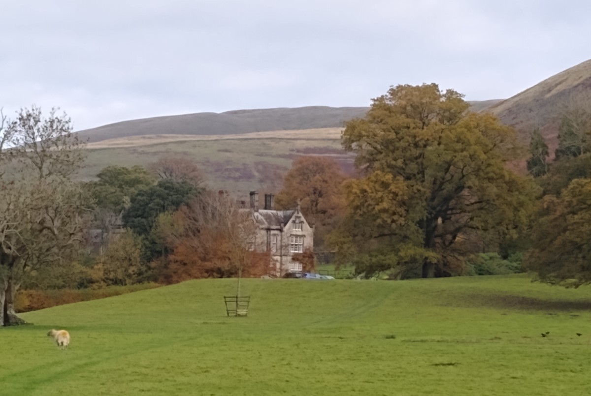
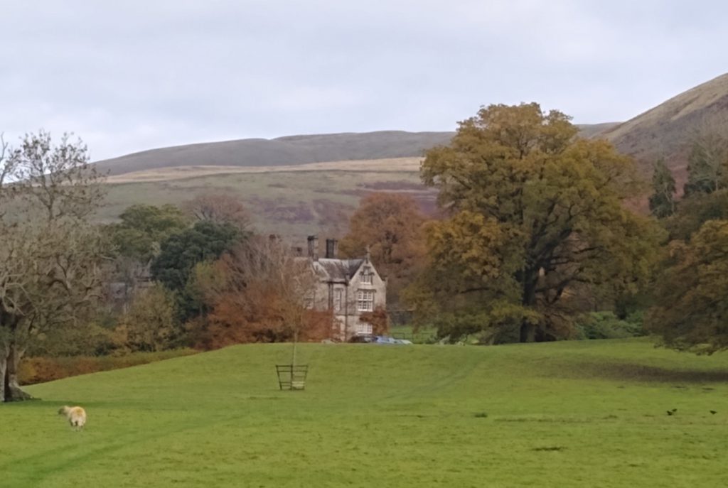
We keep the wall on our left hand side passing through a number of fields and through stiles, always heading consistently North until we arrive at Fell Garth and a minor road. We cross that road and continue on the other side passing through further fields and gates until we arrive at the stile leading into the grounds of the impressive Whelprigg House, a William IV manor in the ‘Jacobethan’ style.
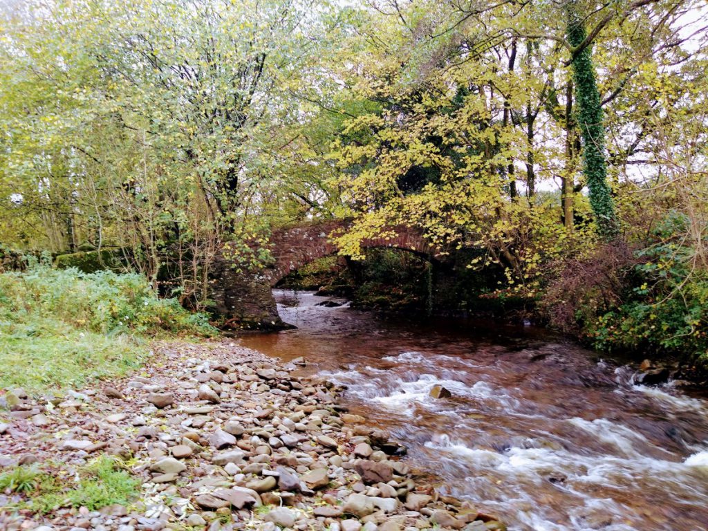
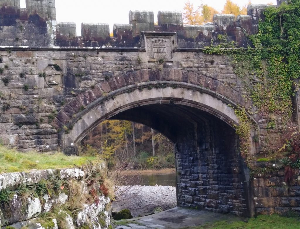
The path follows through the grounds to the west of the house, and we eventually arrive at a stile in the somewhat boggy field corner. From here we follow a track round toward Low bank House, but before reaching the farm branch off on the right (clearly signed) to take a route through fields toward Barbon. After the field we meet a small lane, which we cross, carrying on across open land toward some woods which mark the edge of Barbon, where we again meet the route of the railway. At Barbon, we turn right when the lane meets the main road through the village to pass the Community centre, and the Church Mouse cheese shop before turning left and slightly downhill toward the A683 at Hodge Bridge. Traffic tends to be a little heavier here so take care.
Road Users may well not even notice Hodge Bridge, but it is a fine Grade II listed structure dating back to the 18th Century. At the bridge we turn right and very briefly (30m) follow the A683 North toward Sedbergh. Care is needed, but almost immediately we cross the road and take a stile into the scrubby land on the other side of the road and head back on ourselves, essentially following the route of the Barbon Beck, keeping the stream on our left hand side.
The path now enters the Kirkby Lonsdale Golf course. Keep to the marked path for obvious safety reasons, and note that if in doubt there are orange post markers and that the path essentially follows the course of the beck.
After the golf course we arrive at Beckfoot farm, which we pass keeping the farm on our right, heading over the beck on a small concrete bridge. Take a moment to look back and see a much older and more attractive stone bridge no longer in use.
We continue down the lane, now heading South. A small road comes in on the left, we ignore this and press on as before. We pass some farm buildings on the right and houses on the left, and at this point we see a footpath sign directing us over a cattle grid which takes us down to the River Lune.
Before taking that path though, note that there is a bridge ahead of us – we later return to the other side of this bridge, so if time is short, or legs are tired, feel free to continue straight ahead missing the loop to the Lune.
Follow the path across the field toward the Lune – do not follow the track which bears round to the left. As we arrive at the riverbank, we cross a stile and turn left staying on the riverbank for a while now. This is a pleasant spot for lunch.
Ahead of us we see a rather fine bridge over the river. This is all a private estate, so we divert around the bridge rather than following the obvious path under the left hand arch before continuing along the riverbank.
In a short while the river heads right, and we divert left along the fence line toward some cottages, where we re-join the lane. If we look left we see the bridge that we noted earlier, so if you took the shortcut, you are now back on track.
We continue to the right following the road (called Lowfields Lane). We walk uphill keeping the woods on our right. Once the woods clear look out for a footpath sign on the right taking us out over the fields toward Casterton again.
We now cross a number of open fields, heading consistently SSE, using the edge of the Woods at Gildard Hill ahead of us as a target. Once we arrive at the woodland, we stay outside following the tree line round to the left to arrive at the Grange – another impressive house. Here we turn right and head down a lane away from the house. We pass some ponds on our left before passing a house (again on our left) passing along the side of the sports fields to arrive at Casterton School – although not the same buildings as we saw earlier.
The path now continues between housing in the old village before heading up hill and re-joining the main road, where we briefly turn right, before crossing and continuing in the direction of Kirkby Lonsdale.
We are on the A683 for only a short period though – just past the garage, we take a stile on the left and head back into fields. The path is clear now and takes us back to a small lane where we turn right.
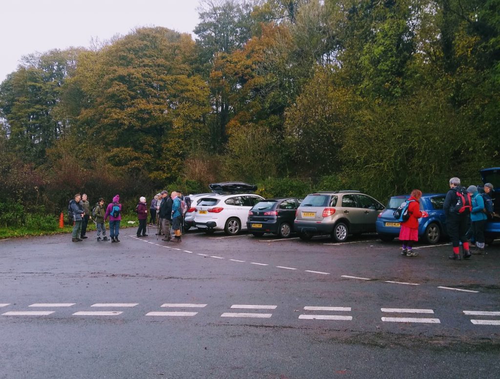
This takes us back to the A683 – we took this route to avoid walking on this major road. At this point we are at the entrance to Casterton Golf Course, and we take the well marked path through the golf course until we meet a junction with Laitha Lane – which you will recall we met earlier in the walk. There is a fingerpost here directing us back toward “Chapel House Lane”
We follow the lane for a short while then head off on the right through the caravan park to emerge over a stile onto Chapel House Lane just about where we started.