Jump to . . .Step by Step | OS Map | Downloads | Gallery | Fly through
Bentham Footpath Group is lucky enough to have good access to the Yorkshire Dales, The South Lakes and the Forest of Bowland, and it’s to the latter that we head for this walk.
It might be tempting to assume that a walk in the forest would involve a lot of time spent amongst the trees. Not necessarily so, as the name Forest of Bowland, was first applied when medieval Royal hunting forests were established – the title ‘forest’ refers here to hunting rights, and not to a large expanse of woodland, as we would interpret it today.
From the attractive village of Gisburn, we loop out round Gisburne Park, before following Stock Beck upstream to Horton, and then Bracewell. We have a quick look at the lovely church of St Michaels, then head west across farmland to Sullside Hill, before strolling back down into Gisburn, via another ancient church – St Mary the Virgin.
- Total distance 11.6 km (7.2 miles)
- Total ascent 212 m
- Easy walk
Step-by-Step
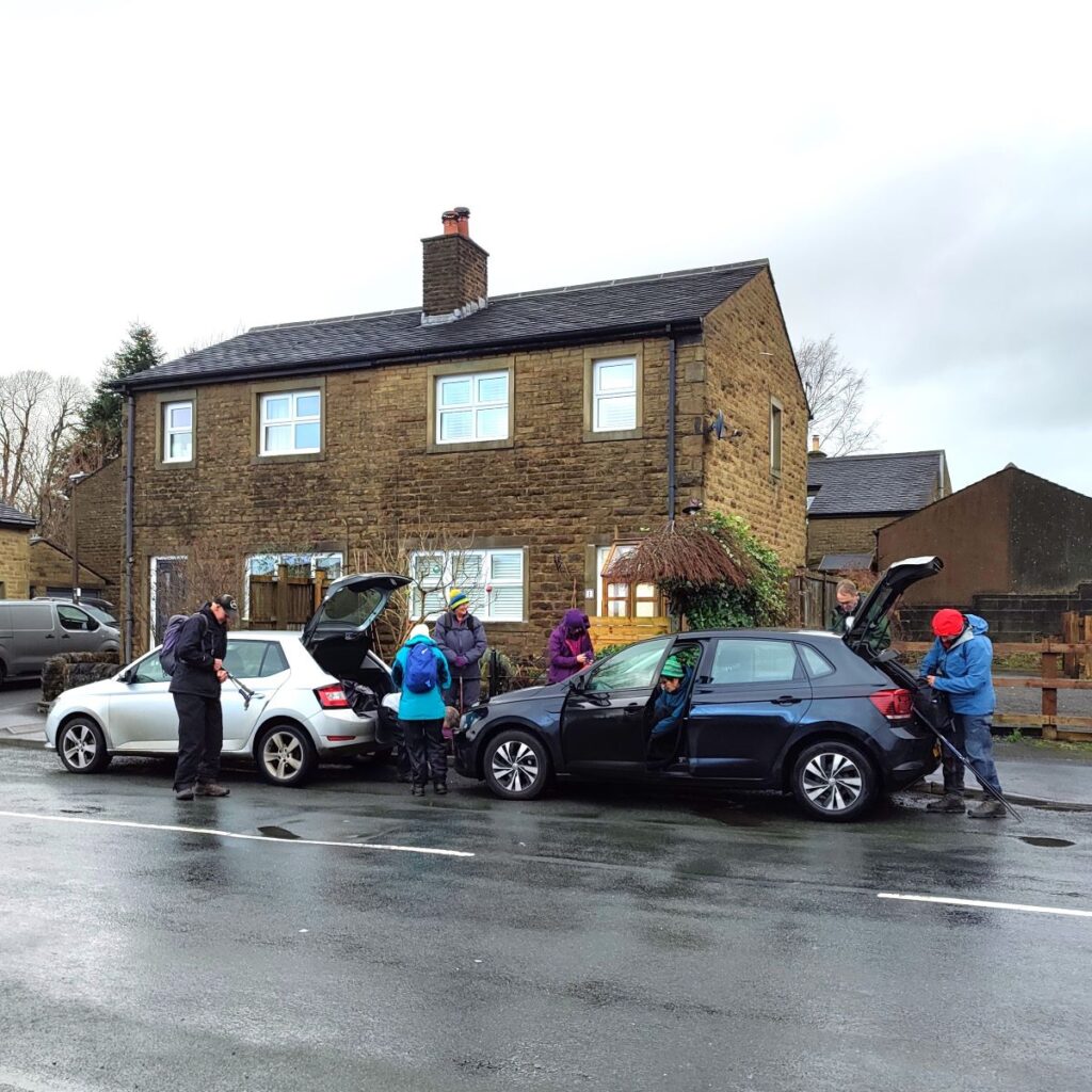
We start in the village of Gisburn. This is easy to find – it’s on the A59 between Skipton and Clitheroe at the junction with the A682. What may prove slightly more of a challenge is finding a parking space – there is a car park at the Gisburn Festival Hall (Bentlea Rd, Gisburn BB7 4LL) but we found this to be full. We therefore recommend roadside parking on Mill Lane, which is as it happens is also part of our walking route. If you are using Satnav to get there use Mill Lane, Gisburn, BB7 4JW as the address. If you prefer paper maps, then the OS grid reference is SD82704879, corresponding to the What-3-Words tag entrust.dazzling.earmarked.
To learn more about Gisburn click . . .
From the cars, we start out by walking up Mill Lane away from the A59 and initially toward the railway just 100m away.
To our left along this early part of the walk is the Auction Mart, an important part of the rural economy with regular livestock sales on Thursdays and Saturdays – be prepared for these to affect the availability of parking.
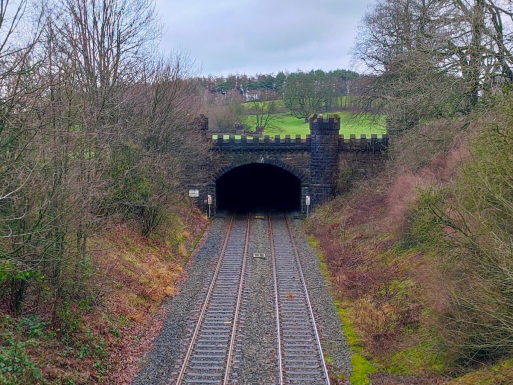
As we arrive at the road bridge over the railway we look to the right and see a rather splendid tunnel portal – this takes the line under Ribblesdale Park, enroute to Hellifield – we meet this line again a little later in the walk. A quick glance at the portal shows the tunnel to be very shallow, begging the question – “why not build a cutting?”. The answer to this lies in the insistence of Lord Ribblesdale who would not allow the railway to cross the park unless underground.
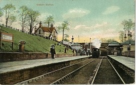
If we look to the left, we now see nothing more interesting than the edge of an industrial estate, but until the 1960’s this was the site of Gisburn station, part of the Lancashire and Yorkshire Railway. It opened in 1879, and closed to passengers in September 1962, shortly before the Beeching Report was published. There are archive photos of the old station available on-line, including this rather charming postcard.
Once over the railway, Mill Lane heads to the left and we follow it as it winds round the edge of Ribblesdale Park. We are on the road now for about 700m. The road is not particularly busy, but nevertheless, care is needed. Of note along the route are the entrance gates to Ribblesdale and Gisburne Parks, an attractive pond, and then a downhill section through Coppice Wood.
This brings us to Gisburn Bridge over the River Ribble. There are two river bridges in Gisburn – the one we arrive at here is the old mill bridge, taking its name from a water powered mill that once stood on this site, near the location of the current house. The second Gisburn Bridge takes the A59 over Stocks Beck – we meet that later in the walk.
We do not cross the Bridge: Instead, we walk around the left of the house and follow a track into the Gisburne Park estate.
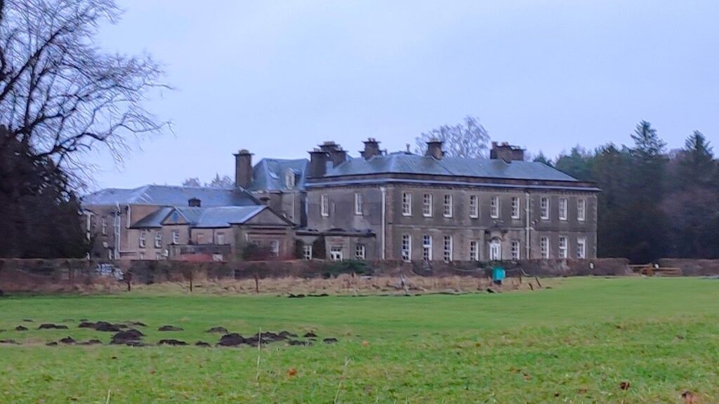
We follow this track for 500m, looping around the front of a rather impressive country House. This was built as the ancestral home of the Lister family, and later purchased by the Hindley family – part of the group of entrepreneurs who created British Home Stores. In October 1985, Gisburne Park House was converted and extended to become an independent private hospital and rehabilitation centre, with Christopher Hindley being its chairman and later its executive director. In 1995 the house and adjacent land was sold and became the BMI Gisburne Park Hospital. In June 2021, the private hospital closed its doors and Amber and Guy Hindley purchased the building and have long term plans to convert it into a hotel and wellness resort. In the interim, the disused hospital, and associated secure psychiatric facility are used as locations for film and TV.
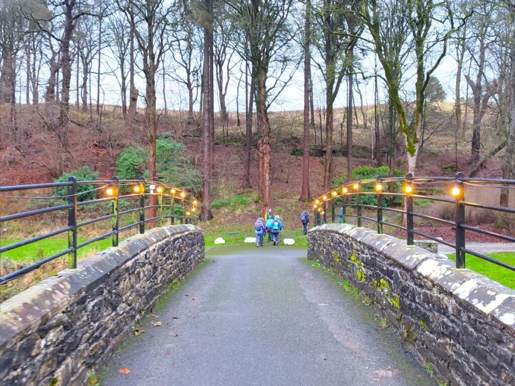
As we follow the track round the front of the old hospital, we meet a fork, and keep left (following signage for Pennine Bridleway) to head downhill to a stone bridge over the Stock Beck – this feeds into the Ribble just 100m downstream of our crossing.
We see a building over to our right, but do not take the track that far. Instead, we carry on up the woodland track opposite, zig-zagging through woodland until we arrive at the top of a ridge where we enjoy a much flatter section taking us to the A682.
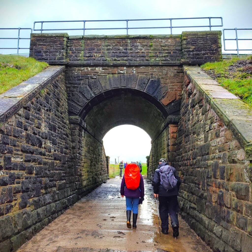
We cross the road, and take the path opposite, keeping the attractive pond to our left, and heading toward a tunnel under the railway which we see about 300m ahead. This is the line to Hellifield which we met earlier. The path continues under the railway, and then goes via a gate on the left into fields. Our route is to the opposite corner of this field, and the easiest way to there is to follow the fence line around two sides of the field until we get to the metal gate which takes us onto the track along the side of Painley Farm.
We stay on this track for 500m passing the picturesque security lights and public address systems for the farm and eventually arrive at a minor road where we go right. The road loops round to the left and after 100m or so enters Horton Green. We stay on this very quiet road for another 300m to arrive at Horton – a collection of rather attractive houses around a central village green – which makes a good place to pause and enjoy lunch.
From here we follow the road round to the right and head downhill through the heart of the hamlet, passing a farm on the left to find a stile at the bottom of the hill. This is a little to the left of the path marked on the OS map, and there is construction works evident at the farm, so this is perhaps a recent diversion.
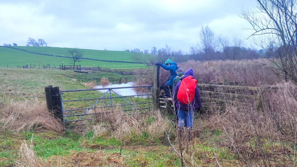
Our path now heads south east through a couple of fields and to a stile where we meet the busy A59 at Stock Beck Bridge. We cross with care and continue opposite, where we see Stock Beck again. Our route for the next 500m or so is essentially to follow the beck upstream to find the wooden footbridge where we cross. This is not a riverside path however, so expect the beck to disappear and reappear in our view as we head southeast through a number of fields.
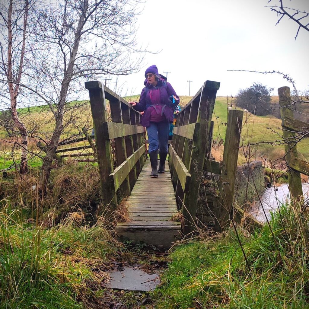
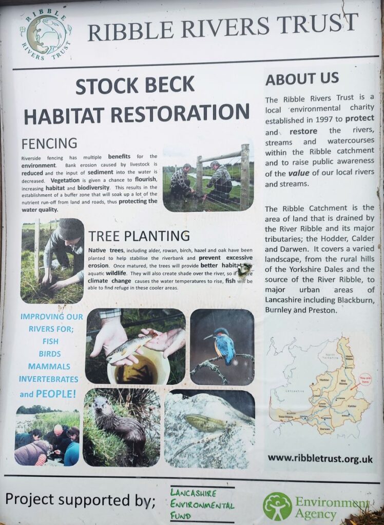
Once we arrive at the footbridge, we cross to find an interpretation board detailing some of the Ribble Rivers Trust works that have taken place around Stock Beck to improve the habitat for wildlife.
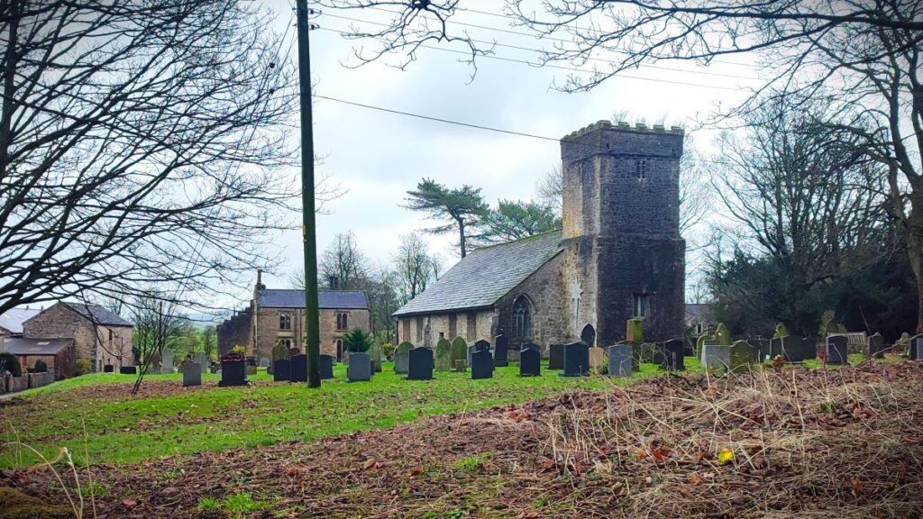
Just 300 m ahead we see the village of Bracewell, and we follow the path up to it joining the B6251, Bracewell Lane, just in front of St Michael’s church. This is an ancient church: It dates from 1143 when it was built as a chantry chapel for the Tempest family, becoming a parish church in 1153. Fabric from this period remains, but most of the church we see now dates from the late 15th or early 16th century. The base of the original tower has been converted into a remembrance chapel. The church is recorded in the National Heritage List for England as a designated Grade I listed building.
Once at the B6251, we head right and along the road for just 200m. At this point the road heads right and downhill, whilst we take a lane straight on, at a level contour. We follow this lane for a while now, passing an attractive pond (to our right) and enjoying good views over to Weets Hill and Pendle Hill to our left. Once we are past the pond, we arrive at a cattle grid, and soon after that, a gate taking the path down to a small footbridge over a beck at the base of an area of woodland noted on the OS map as Big Covert – a stile into the woodland takes us onto a path that winds through the woods to emerge into open fields just 100 m later.
We now have a couple of fields to cross. The path is generally clear – the only issue we had was with an electric fence where the insulation at the stile is defective. Care is recommended.
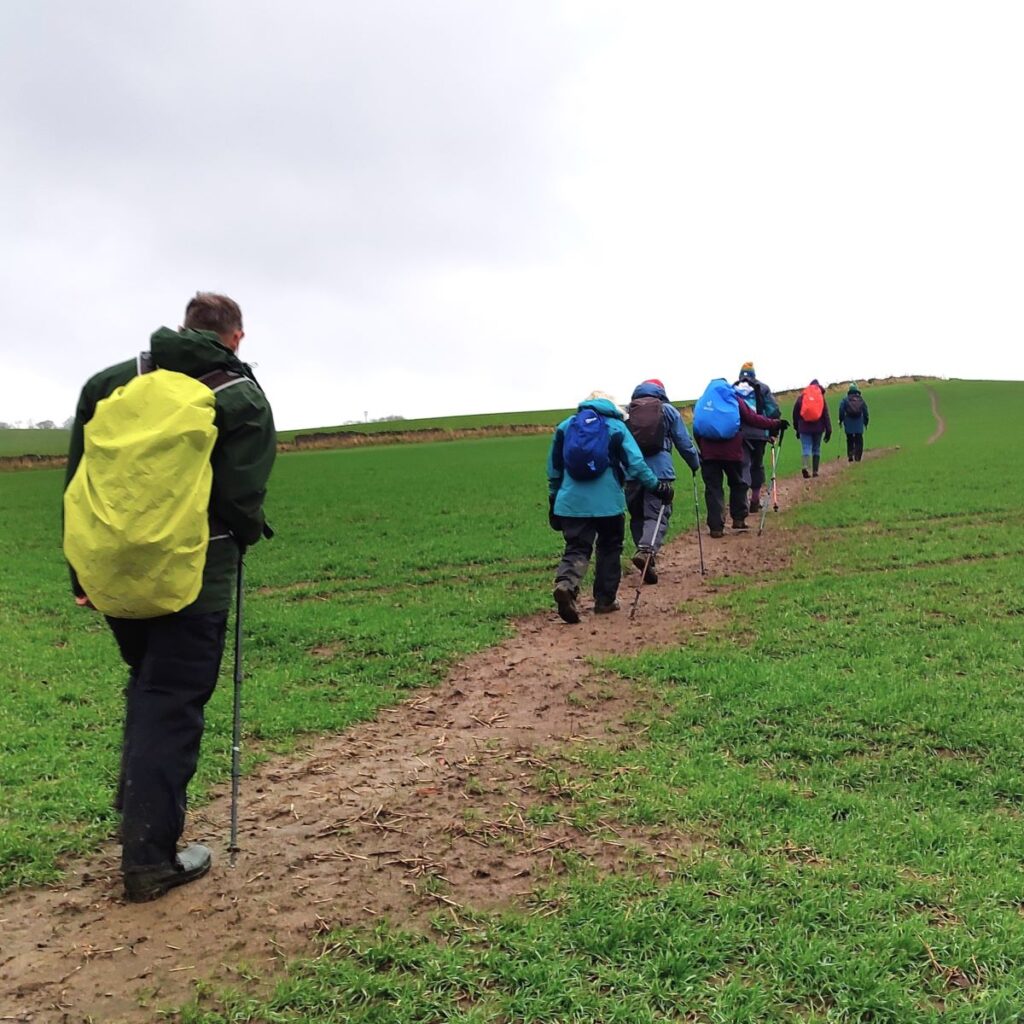
After this energising challenge, we have a steep climb through a wheat field up to the peak of the next hillock, where we find a double stile, the first a wooden step stile over the fence (not electrified this time) and the second a traditional stone stile.
From here we see a stand of trees – this is Walter Hill Plantation, and we need to aim just to the left of the trees where we find a small stile.
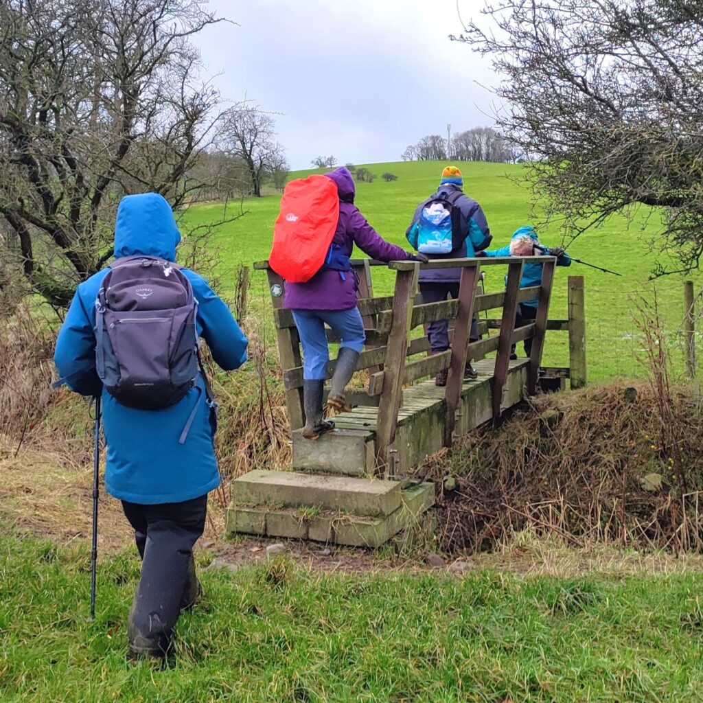
Once over the stile, we bear slightly to the left and contour round the hill. Until we have the eastern edge of Gisburn in view. We see a lane coming down from a farm to the A59 into Gisburn, and as we follow the footpath round to cross a wooden footbridge before meeting the farm track about 100m south of the A-road.
We follow the track down to the road and head left, walking on a grass verge, and soon after (on the opposite side) a pavement.
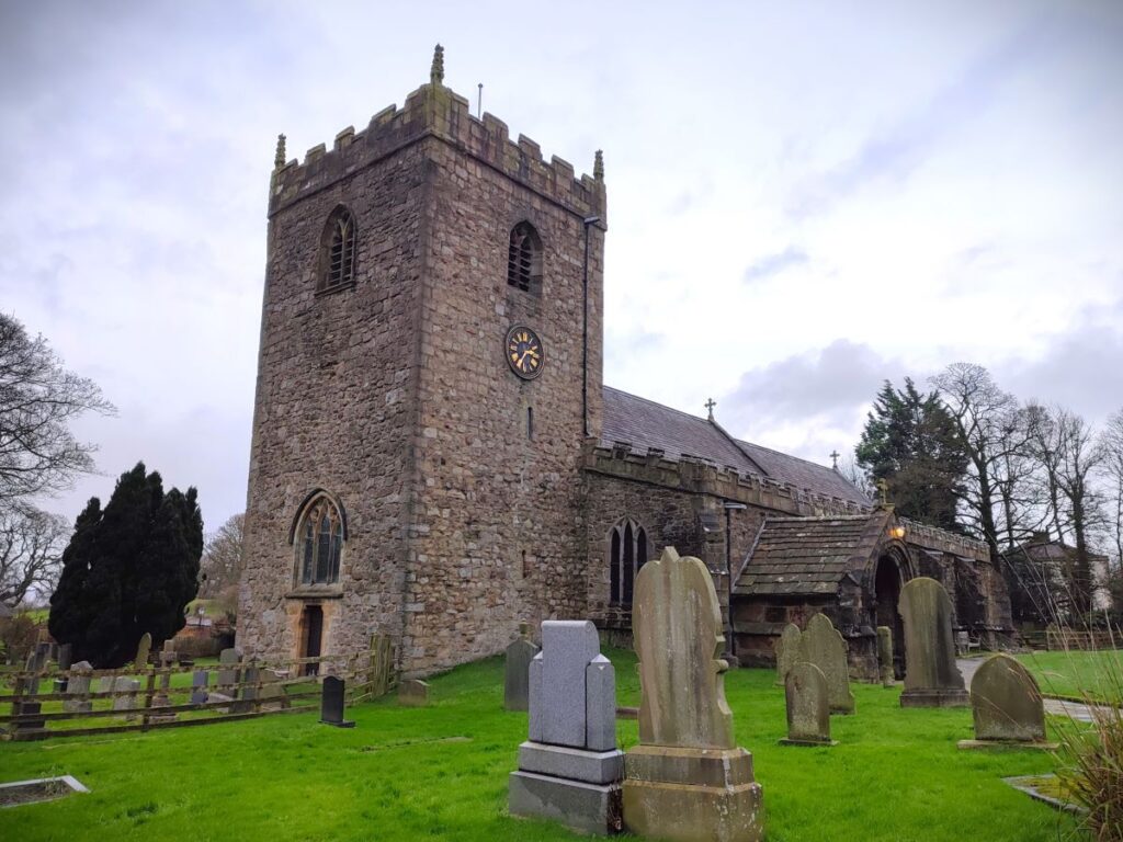
The final stage of the walk involves a short stroll into the centre of Gisburn Village where we find the church of St Mary the Virgin. This too is ancient – dating from 1135, with significant restorations and extension over the centuries. The most significant of which by architect Frederick Josias Robinson in 1868-1871.
To read more about St Mary’s click . . .
From here we follow the A59 back down to Mill Lane where we collect the cars.
Bentham Footpath Group walks are classified according to distance walked and the change in elevation. This walk is categorised as “easy” based on the values recorded. We were somewhat unlucky with the weather and found ourselves walking through sticky mud for much of the route, and it is worth noting that if you schedule this walk for a similarly wet period, the walk will may feel more challenging.
